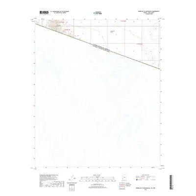
2018 Map of Sierra de la Lechuguilla
USGS Topo · Published 2018About this map
Sierra de la Lechuguilla dominates the northern portion of this map, where the international boundary between the United States and Mexico cuts across the arid landscape. The survey captures a section of the Lechuguilla Desert where complex drainage patterns from La Jolla Wash fan out southward into Mexican territory. This map emphasizes the physical geography of the borderlands, showing how the landform of the sierra dictates the local topography before leveling out into the alluvial plains. Without any modern infrastructure or settlements shown, the document highlights the extreme isolation and preservation of these Sonoran Desert landforms in the early twenty-first century.
Find a feature on this map
8 named features on this map. Tap any name to fly to it.
Don’t see what you’re looking for? This feature index may not catch every label — zoom into the map to look around manually.
Map Details
Editions of this 2018 Sierra de la Lechuguilla Map
This is the sole edition of this map. No revisions or reprints were ever made.
Other maps of this area

1942 · Yuma
USGS Topo · 1:250,000

1953 · Ajo
USGS Topo · 1:250,000

1954 · El Centro
USGS Topo · 1:250,000

1955 · El Centro
USGS Topo · 1:250,000

1957 · Ajo
USGS Topo · 1:250,000

1958 · Ajo
USGS Topo · 1:250,000

1958 · El Centro
USGS Topo · 1:250,000

1961 · El Centro
USGS Topo · 1:250,000

1962 · Ajo
USGS Topo · 1:250,000

1963 · Ajo
USGS Topo · 1:250,000