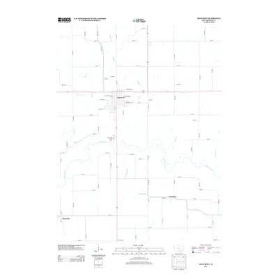
2013 Map of Sigourney
USGS Topo · Published 2013About this map
Sigourney, the Keokuk County seat, stands as the primary hub of this eastern Iowa landscape, situated just north of the meandering N Skunk River. The town's grid is well-defined by streets such as W Washington St and S Stuart St, reflecting a traditional Midwestern county seat layout. Outside the main settlement, the terrain is shaped by a dense network of tributaries, including Troublesome Cr, Bridge Cr, and Rock Cr, which carve through the agricultural sections. The rural character is further detailed by small outlying communities like Lancaster to the southeast and Hayesville at the southwestern edge. Public land use is represented by the Checauqua River Access, providing a point of contact with the river valley that dominates the central portion of the quadrangle.
Find a feature on this map
57 named features on this map. Tap any name to fly to it.
Don’t see what you’re looking for? This feature index may not catch every label — zoom into the map to look around manually.
Map Details
Editions of this 2013 Sigourney Map
This is the sole edition of this map. No revisions or reprints were ever made.
Other maps of this area

1954 · Des Moines
USGS Topo · 1:250,000

1956 · Des Moines
USGS Topo · 1:250,000

1956 · Ottumwa North
USGS Topo · 1:62,500

1957 · Des Moines
USGS Topo · 1:250,000

1965 · What Cheer
USGS Topo · 1:24,000

1965 · Keswick
USGS Topo · 1:24,000

1965 · Harper
USGS Topo · 1:24,000

1965 · South English
USGS Topo · 1:24,000

1965 · Sigourney
USGS Topo · 1:24,000

1965 · Delta
USGS Topo · 1:24,000