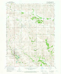
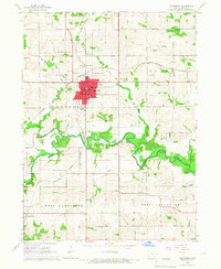
1965 Map of What Cheer
USGS Topo · Published 1966About this map
What Cheer serves as a primary hub of settlement in the mid-1960s, its street grid and industrial footprint reflecting an era of transition. The presence of multiple Claypit locations and specialized Kilns near the town center indicates a local economy shaped by clay extraction and ceramics production. Transport infrastructure is prominent throughout Washington township, including the Chicago Rock Island and Pacific railroad and remnants of an Old RR Grade and Old RR, showing how rail lines dictated the growth of nearby Thornburg.
Find a feature on this map
30 named features on this map. Tap any name to fly to it.
Don’t see what you’re looking for? This feature index may not catch every label — zoom into the map to look around manually.
Map Details
Editions of this 1965 What Cheer Map
This is the sole edition of this map. No revisions or reprints were ever made.
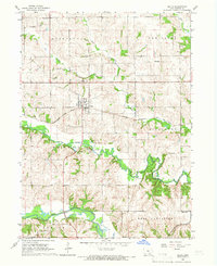
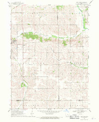
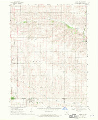
Other maps of this area

1954 · Des Moines
USGS Topo · 1:250,000

1956 · Des Moines
USGS Topo · 1:250,000

1957 · Des Moines
USGS Topo · 1:250,000
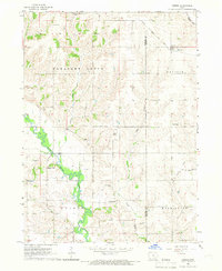
1965 · Gibson
USGS Topo · 1:24,000
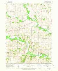
1965 · Rose Hill
USGS Topo · 1:24,000
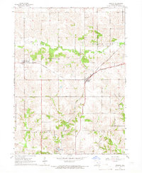
1965 · Keswick
USGS Topo · 1:24,000
1965 · Sigourney
USGS Topo · 1:24,000
1965 · Delta
USGS Topo · 1:24,000
1968 · Deep River
USGS Topo · 1:24,000
1968 · Barnes City
USGS Topo · 1:24,000