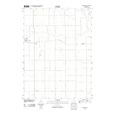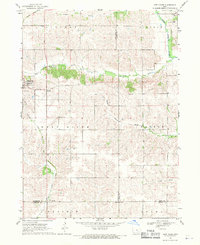
1968 Map of Deep River
USGS Topo · Published 1970About this map
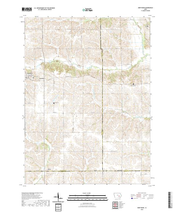
The agrarian landscape of eastern Iowa is defined here by the confluence of numerous watercourses, including the North English River, Middle English River, and Deep River. Small rural settlements like Dresden and the town of Deep River anchor the township divisions of Lincoln, Deep River, and Dayton. An Old Railroad Grade cuts through the northwestern and southwestern sections of the terrain, indicating the historical path of rail transport that once connected these farming communities. Genealogists will find notable value in several burial sites across the quadrangle, such as Dresden Cem and St Johns Cem. The map illustrates a period in the late 1960s where the land was intensely divided for agriculture, with numerous farmsteads connected by a grid of secondary roads and drainage systems like Jordan Creek and Gritter Creek.
Find a feature on this map
20 named features on this map. Tap any name to fly to it.
Don’t see what you’re looking for? This feature index may not catch every label — zoom into the map to look around manually.
Map Details
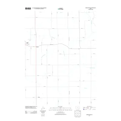
Editions of this 1968 Deep River Map
This is the sole edition of this map. No revisions or reprints were ever made.
Historical Maps of Deep River Through Time
6 maps found