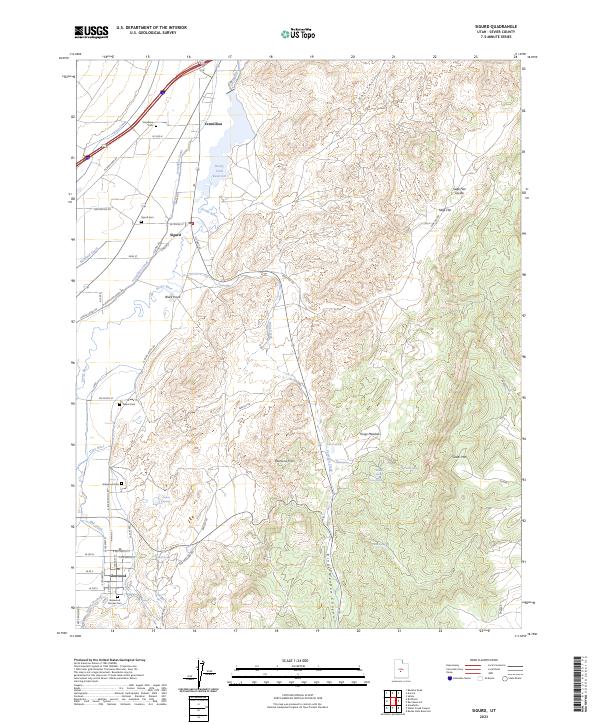
2023 Map of Sigurd
USGS Topo · Published 2023About this map
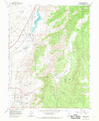
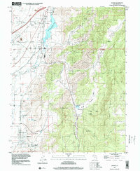
Sigurd and Glenwood anchor this Central Utah landscape, where a sophisticated network of irrigation canals supports agricultural life in the Sevier River valley. The Piute Canal, Vermillion Canal, and Richfield Canal demonstrate the critical role of water management in the desert, diverting resources from the Sevier River and Rocky Ford Reservoir to the surrounding fields. This complex system of ditches and laterals follows the natural contours of the valley floor, creating a stark contrast between the irrigated lowlands and the arid heights of the Rainbow Hills and Cedar Mtn.
Find a feature on this map
59 named features on this map. Tap any name to fly to it.
Don’t see what you’re looking for? This feature index may not catch every label — zoom into the map to look around manually.
Map Details
Editions of this 2023 Sigurd Map
This is the sole edition of this map. No revisions or reprints were ever made.