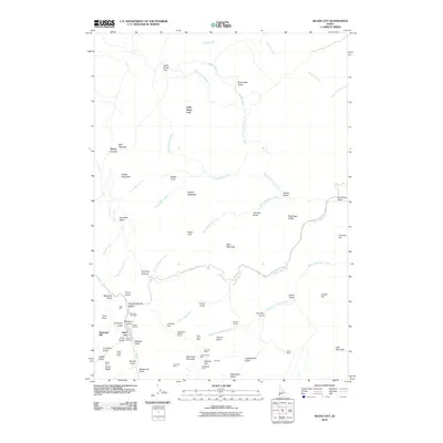
2010 Map of Silver City
USGS Topo · Published 2010About this map
Silver City remains the focal point of this mining landscape, situated at the confluence of several gulches and ridges that define the high-altitude terrain. The map documents an extensive history of resource extraction, with deep-rooted operations such as the Poorman Mine, Morning Star Mine, and the Trade Dollar Mine surrounding the settlement. These industrial sites are linked to processing infrastructure like the Cumberland Mill and the engineering feat of the Sinker Tunnel.
Find a feature on this map
72 named features on this map. Tap any name to fly to it.
Don’t see what you’re looking for? This feature index may not catch every label — zoom into the map to look around manually.
Map Details
Editions of this 2010 Silver City Map
This is the sole edition of this map. No revisions or reprints were ever made.
Other maps of this area

1892 · Silver City
USGS Topo · 1:125,000

1894 · Silver City
USGS Topo · 1:125,000

1898 · Silver City
USGS Topo · 1:125,000

1955 · Jordan Valley
USGS Topo · 1:250,000

1955 · Boise
USGS Topo · 1:250,000

1957 · Jordan Valley
USGS Topo · 1:250,000

1958 · Boise
USGS Topo · 1:250,000

1958 · Jordan Valley
USGS Topo · 1:250,000

1962 · Boise
USGS Topo · 1:250,000

1965 · Triangle
USGS Topo · 1:62,500