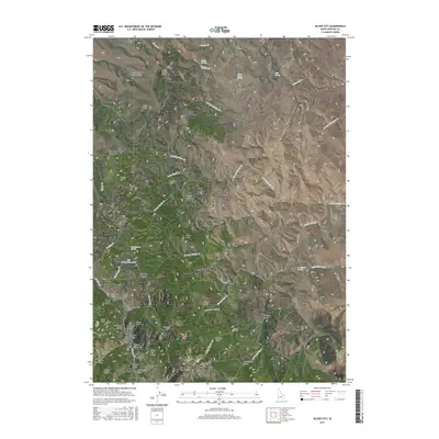
2017 Map of Silver City
USGS Topo · Published 2017About this map
Silver City sits at the heart of this Owyhee County terrain, surrounded by a landscape defined by mining-era history and high-elevation landforms. The presence of the Pioneer Cem and Cemetery Gulch near the main settlement highlights the genealogical significance of the area, while the Sinker Tunnel and numerous named gulches like Slaughterhouse Gulch and French Gulch point to the extensive underground activities of the silver mining boom.
Find a feature on this map
79 named features on this map. Tap any name to fly to it.
Don’t see what you’re looking for? This feature index may not catch every label — zoom into the map to look around manually.
Map Details
Editions of this 2017 Silver City Map
This is the sole edition of this map. No revisions or reprints were ever made.
Other maps of this area
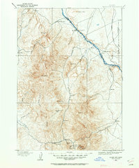
1892 · Silver City
USGS Topo · 1:125,000
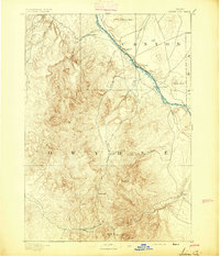
1894 · Silver City
USGS Topo · 1:125,000
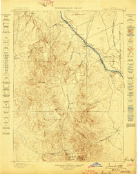
1898 · Silver City
USGS Topo · 1:125,000
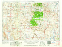
1955 · Jordan Valley
USGS Topo · 1:250,000
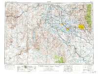
1955 · Boise
USGS Topo · 1:250,000
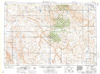
1957 · Jordan Valley
USGS Topo · 1:250,000
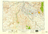
1958 · Boise
USGS Topo · 1:250,000
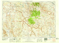
1958 · Jordan Valley
USGS Topo · 1:250,000
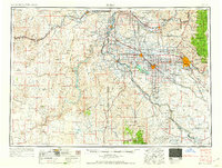
1962 · Boise
USGS Topo · 1:250,000
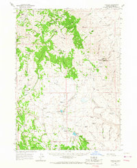
1965 · Triangle
USGS Topo · 1:62,500