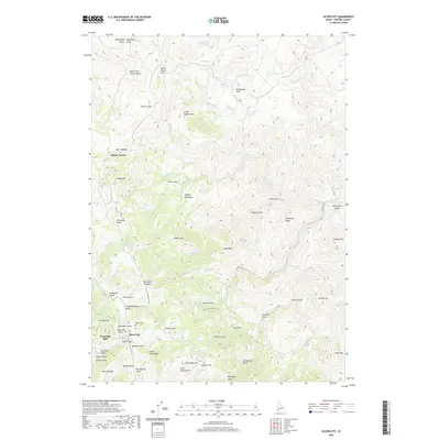
2020 Map of Silver City
USGS Topo · Published 2020About this map
Silver City remains a central point of interest in this high-desert mountain landscape, where the geography of the late 19th-century mining boom is still etched into the terrain. The map reveals the functional layout of this historic settlement, from the Pioneer Cem situated in Cemetery Gulch to the industrial and social remnants found at Slaughterhouse Gulch and Picnic Gulch. Significant elevation changes are marked by Telegraph Hill and New York Summit, indicating the challenging travel routes required for ore transport and communication during the area's development.
Find a feature on this map
82 named features on this map. Tap any name to fly to it.
Don’t see what you’re looking for? This feature index may not catch every label — zoom into the map to look around manually.
Map Details
Editions of this 2020 Silver City Map
This is the sole edition of this map. No revisions or reprints were ever made.
Other maps of this area

1892 · Silver City
USGS Topo · 1:125,000

1894 · Silver City
USGS Topo · 1:125,000

1898 · Silver City
USGS Topo · 1:125,000

1955 · Jordan Valley
USGS Topo · 1:250,000

1955 · Boise
USGS Topo · 1:250,000

1957 · Jordan Valley
USGS Topo · 1:250,000

1958 · Boise
USGS Topo · 1:250,000

1958 · Jordan Valley
USGS Topo · 1:250,000

1962 · Boise
USGS Topo · 1:250,000

1965 · Triangle
USGS Topo · 1:62,500