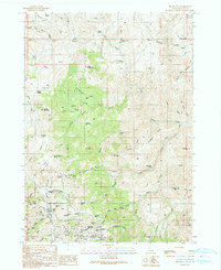
1990 Map of Silver City
USGS Topo · Published 1991About this map
Silver City and its surrounding mining districts are the focus of this 1990 survey, showing the intricate network of 4WD trails and resource extractions in the Owyhee Mountains. The map reveals the layout of Silver City near the confluence of Jordan Creek and Webfoot Gulch, while the nearby Ruby City (Site) and the Pioneer Cemetery offer clues to the earlier settlement patterns of the late 19th-century silver rush.
Find a feature on this map
74 named features on this map. Tap any name to fly to it.
Don’t see what you’re looking for? This feature index may not catch every label — zoom into the map to look around manually.
Map Details
Editions of this 1990 Silver City Map
This is the sole edition of this map. No revisions or reprints were ever made.
Other maps of this area

1892 · Silver City
USGS Topo · 1:125,000

1894 · Silver City
USGS Topo · 1:125,000

1898 · Silver City
USGS Topo · 1:125,000

1955 · Jordan Valley
USGS Topo · 1:250,000

1955 · Boise
USGS Topo · 1:250,000

1957 · Jordan Valley
USGS Topo · 1:250,000

1958 · Boise
USGS Topo · 1:250,000

1958 · Jordan Valley
USGS Topo · 1:250,000

1962 · Boise
USGS Topo · 1:250,000

1965 · Triangle
USGS Topo · 1:62,500