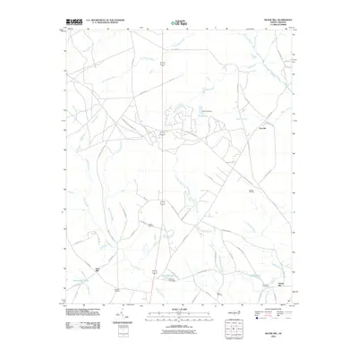
2010 Map of Silver Hill
USGS Topo · Published 2010About this map
Spring Hill Cemetery and Wrights Cemetery stand as quiet landmarks in this rural pocket of Scotland County. The landscape is defined by its complex hydrology, where Little Shoe Heel Creek and Shoe Heel Creek wind through the countryside alongside numerous family-named landmarks. The presence of Monroe Mill Pond and Dixie Pond Dam suggests a history of localized water management for industry or agriculture, while the Sandhillss Game Manag Area preserves a portion of the native terrain.
Find a feature on this map
60 named features on this map. Tap any name to fly to it.
Don’t see what you’re looking for? This feature index may not catch every label — zoom into the map to look around manually.
Map Details
Editions of this 2010 Silver Hill Map
This is the sole edition of this map. No revisions or reprints were ever made.
Other maps of this area

1942 · Troy
USGS Topo · 1:125,000

1942 · Rockingham
USGS Topo · 1:125,000

1948 · Southern Pines
USGS Topo · 1:62,500

1948 · Pinebluff
USGS Topo · 1:24,000

1948 · Mc Cain
USGS Topo · 1:24,000

1949 · Gibson
USGS Topo · 1:24,000

1949 · Wagram
USGS Topo · 1:24,000

1949 · Laurinburg
USGS Topo · 1:24,000

1949 · Silver Hill
USGS Topo · 1:24,000

1949 · Hoffman
USGS Topo · 1:24,000