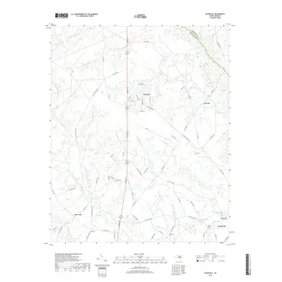
2019 Map of Silver Hill
USGS Topo · Published 2019About this map
Silver Hill and the surrounding coastal plain of Scotland County are defined by a dense network of blackwater streams and historical family landmarks. The landscape is segmented by the slow-moving waters of Drowning Creek, Little Shoe Heel Cr, and Juniper Cr, which historically supported timber and agricultural operations. Evidence of early industry remains at Monroe Mill Pond and Newtons Pond, while the settlement patterns of Deercroft and Oak Hill are clustered along corridors like Aberdeen Rd. This 2019 survey captures a rural landscape where family heritage is deeply rooted, as evidenced by numerous scattered burial grounds such as McNeill Cem, Wrights Cem, and Spring Hill Cem near the community of Spring Hill. The eastern edge of the map features the town of Wagram, illustrating the transition from traditional homesteads to contemporary residential development.
Find a feature on this map
73 named features on this map. Tap any name to fly to it.
Don’t see what you’re looking for? This feature index may not catch every label — zoom into the map to look around manually.
Map Details
Editions of this 2019 Silver Hill Map
This is the sole edition of this map. No revisions or reprints were ever made.
Other maps of this area

1942 · Troy
USGS Topo · 1:125,000

1942 · Rockingham
USGS Topo · 1:125,000

1948 · Southern Pines
USGS Topo · 1:62,500

1948 · Pinebluff
USGS Topo · 1:24,000

1948 · Mc Cain
USGS Topo · 1:24,000

1949 · Gibson
USGS Topo · 1:24,000

1949 · Wagram
USGS Topo · 1:24,000

1949 · Laurinburg
USGS Topo · 1:24,000

1949 · Silver Hill
USGS Topo · 1:24,000

1949 · Hoffman
USGS Topo · 1:24,000