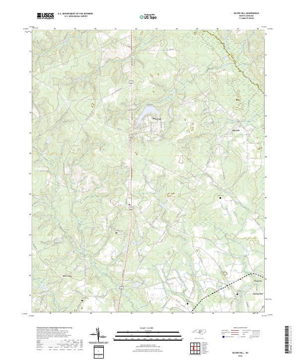
2022 Map of Silver Hill
USGS Topo · Published 2022About this map
Silver Hill and Wagram anchor this portion of the North Carolina sandhills, where the border of Hoke Co and Scotland Co follows the winding course of Drowning Creek. The landscape is a network of small watercourses and family landmarks, with Little Shoe Heel Cr and Juniper Cr threading through the agricultural and forested terrain. Genealogists and local historians will find several well-placed burial grounds, including Wrights Cem, McNeill Cem, and Spring Hill Cem, which offer physical touchstones for the area’s longstanding families.
Find a feature on this map
71 named features on this map. Tap any name to fly to it.
Don’t see what you’re looking for? This feature index may not catch every label — zoom into the map to look around manually.
Map Details
Editions of this 2022 Silver Hill Map
This is the sole edition of this map. No revisions or reprints were ever made.
Other maps of this area

1942 · Troy
USGS Topo · 1:125,000

1942 · Rockingham
USGS Topo · 1:125,000

1948 · Southern Pines
USGS Topo · 1:62,500

1948 · Pinebluff
USGS Topo · 1:24,000

1948 · Mc Cain
USGS Topo · 1:24,000

1949 · Gibson
USGS Topo · 1:24,000

1949 · Wagram
USGS Topo · 1:24,000

1949 · Laurinburg
USGS Topo · 1:24,000

1949 · Silver Hill
USGS Topo · 1:24,000

1949 · Hoffman
USGS Topo · 1:24,000