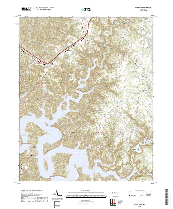
2022 Map of Silver Point
USGS Topo · Published 2022About this map
Center Hill Lake dominates this Tennessee landscape, where the inundated valleys of Little Indian Cr and Mine Lick Cr create a complex shoreline punctuated by prominent features like Davies Island and The Narrows. The terrain is characterized by a series of ridges and hollows, such as Medley Ridge and Burton Hollow, that have shaped the local road network and settlement patterns. Small communities like Silver Point, Cherry Hill, and Williams Crossroads serve as anchor points across the undulating topography of Putnam and DeKalb counties.
Find a feature on this map
126 named features on this map. Tap any name to fly to it.
Don’t see what you’re looking for? This feature index may not catch every label — zoom into the map to look around manually.
Map Details
Editions of this 2022 Silver Point Map
This is the sole edition of this map. No revisions or reprints were ever made.
Historical Maps of Cherry Hill Through Time
9 maps found
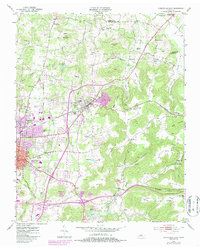
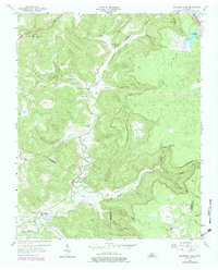
1953 Cookeville East
Putnam County, TN
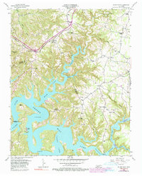
1953 Cookeville West
Putnam County, TN
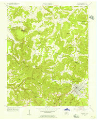
1955 Monterey Lake
Putnam County, TN
1956 Monterey Lake
Putnam County, TN
1956 Silver Point
Putnam County, TN
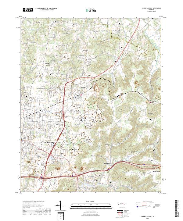
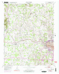
2022 Cookeville East
Putnam County, TN
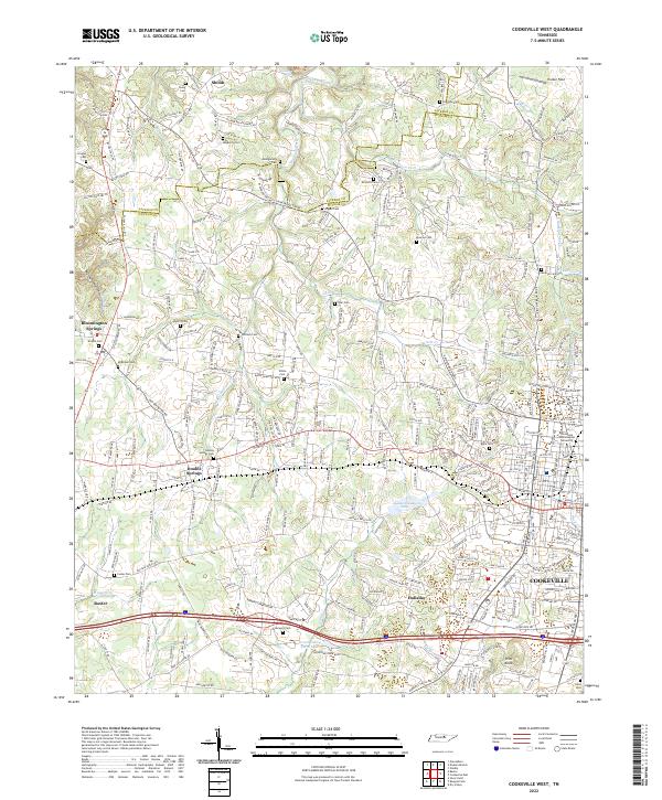
2022 Cookeville West
Putnam County, TN
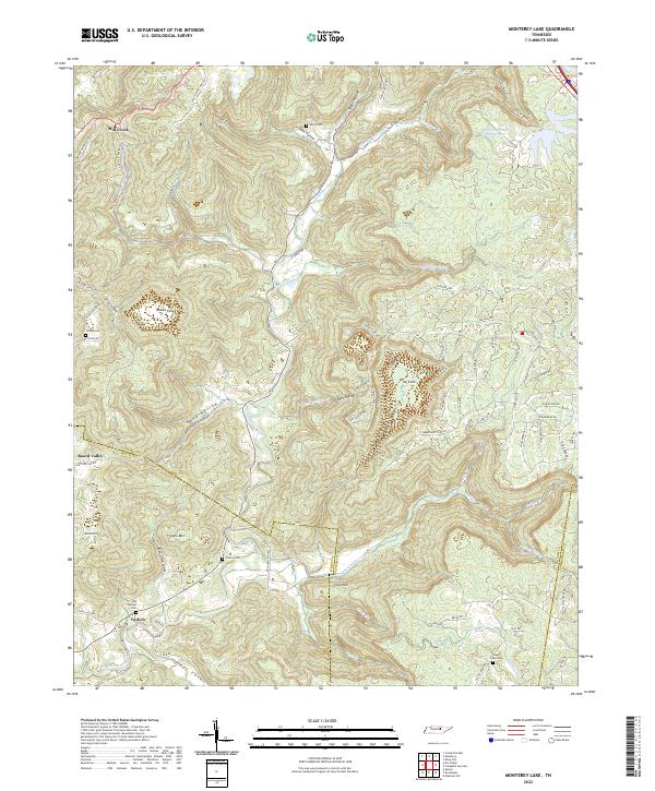
2022 Monterey Lake
Putnam County, TN
2022 Silver Point
Putnam County, TN