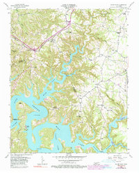
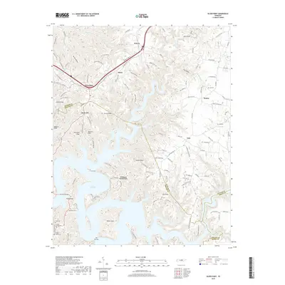
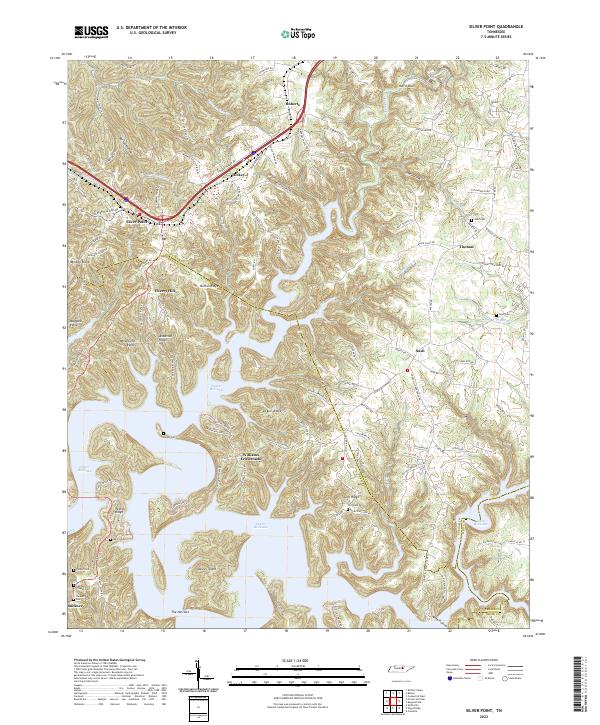
1956 Map of Silver Point
USGS Topo · Published 1990About this map
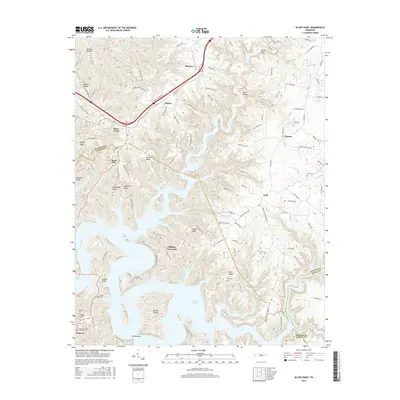
The Center Hill Lake reservoir dominates the landscape of this Putnam County region, where the impounded waters of the Caney Fork and Falling Water River create a complex shoreline of narrow inlets and ridges. Settlement patterns reflect the rugged Highland Rim topography, with communities like Silver Point and Cherry Hill situated on the higher elevations away from the flood zone. The area shows a transition from traditional rural institutions to mid-century recreation, as evidenced by the proximity of Rock Castle Sch and Bethlehem Ch to newer developments like Cookeville Dock. The Louisville and Nashville railroad corridor cuts through the northern section, passing through Hickey and Roberts, while the southern reaches near The Narrows show the deep incision of the river valleys before and after the reservoir's creation. Local history is preserved in numerous family-named landmarks and rural centers, including Williams Crossroads and Wayside Chapel.
Find a feature on this map
49 named features on this map. Tap any name to fly to it.
Don’t see what you’re looking for? This feature index may not catch every label — zoom into the map to look around manually.
Map Details
Editions of this 1956 Silver Point Map
4 editions found
Historical Maps of Nash Through Time
25 maps found
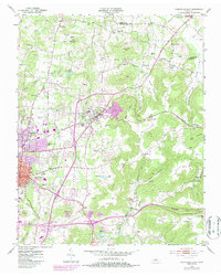
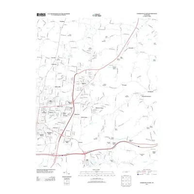
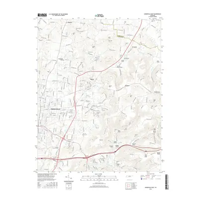
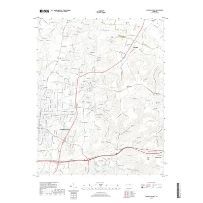
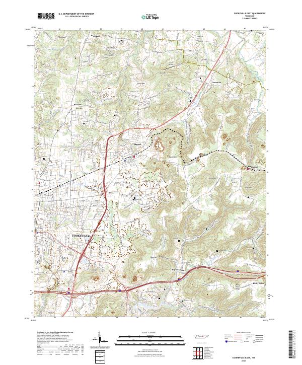
1953 Cookeville East
Putnam County, TN
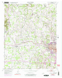
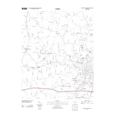
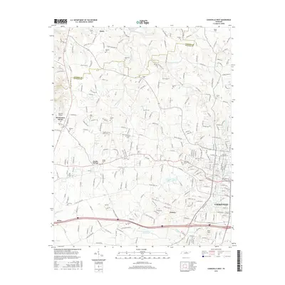
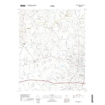
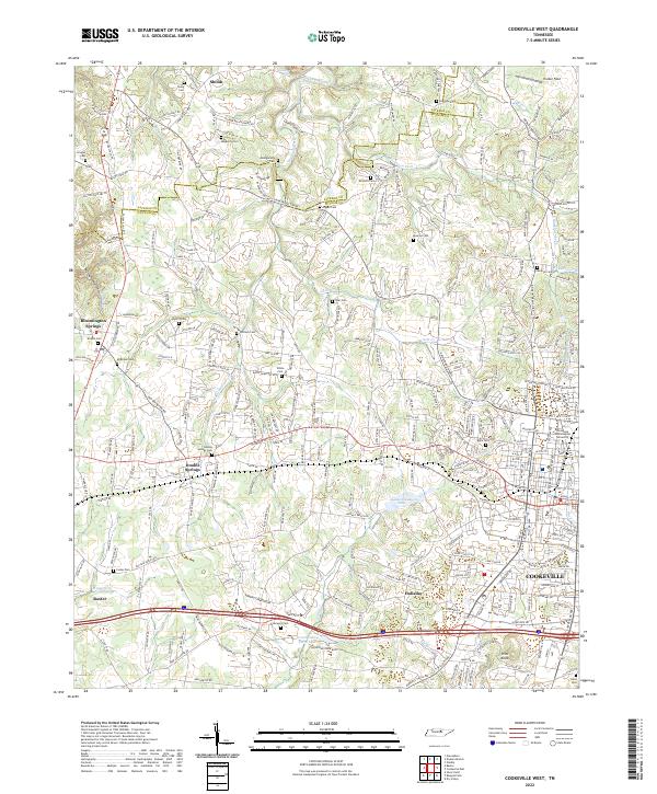
1953 Cookeville West
Putnam County, TN
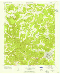
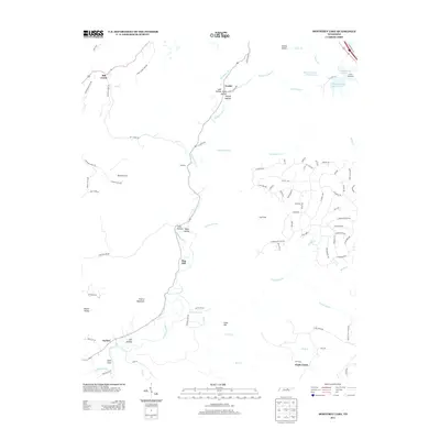
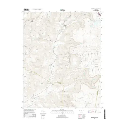
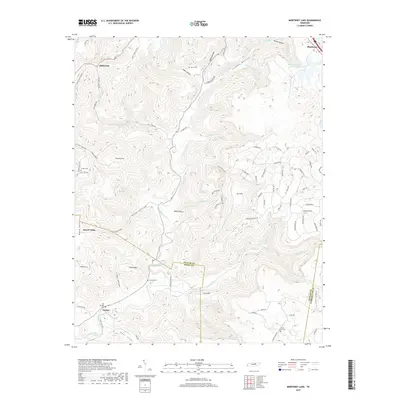
1955 Monterey Lake
Putnam County, TN
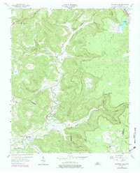
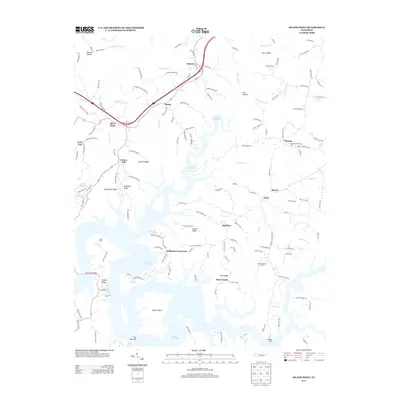
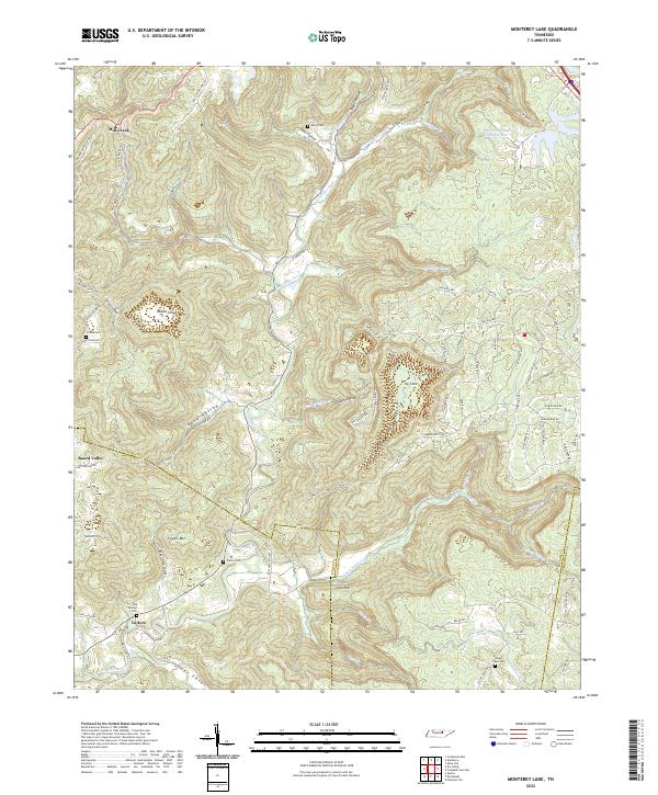
1956 Monterey Lake
Putnam County, TN
1956 Silver Point
Putnam County, TN
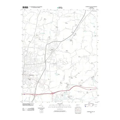
2010 Cookeville East
Putnam County, TN
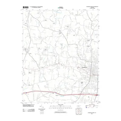
2010 Cookeville West
Putnam County, TN
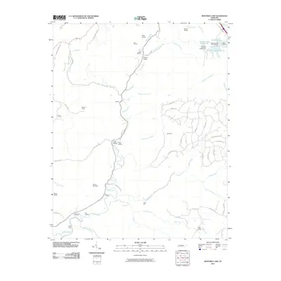
2010 Monterey Lake
Putnam County, TN
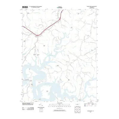
2010 Silver Point
Putnam County, TN
2013 Cookeville East
Putnam County, TN
2013 Cookeville West
Putnam County, TN
2013 Monterey Lake
Putnam County, TN
2013 Silver Point
Putnam County, TN
2016 Cookeville East
Putnam County, TN
2016 Cookeville West
Putnam County, TN
2016 Monterey Lake
Putnam County, TN
2016 Silver Point
Putnam County, TN
2019 Cookeville East
Putnam County, TN
2019 Cookeville West
Putnam County, TN
2019 Monterey Lake
Putnam County, TN
2019 Silver Point
Putnam County, TN
2022 Cookeville East
Putnam County, TN
2022 Cookeville West
Putnam County, TN
2022 Monterey Lake
Putnam County, TN
2022 Silver Point
Putnam County, TN