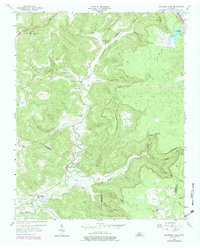
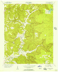
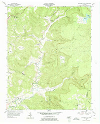
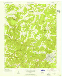
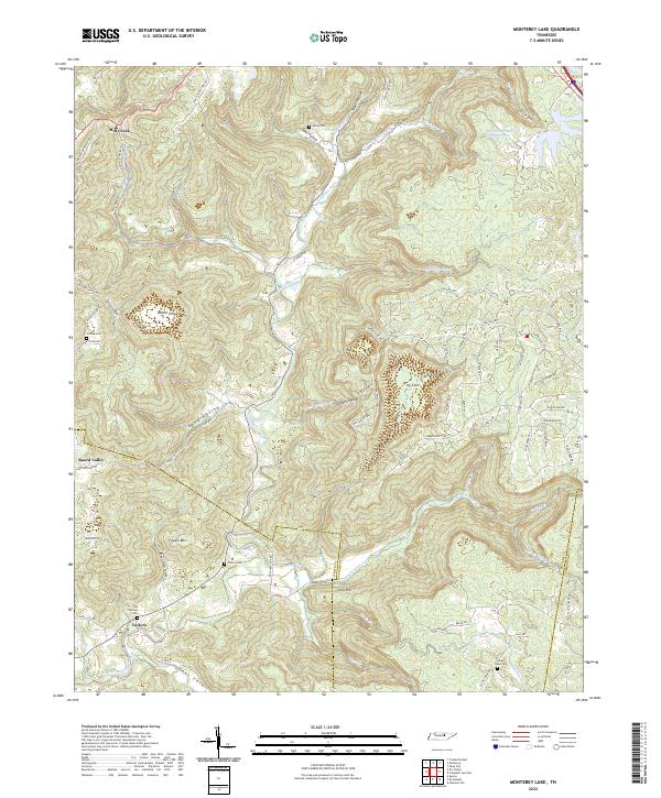
1956 Map of Monterey Lake
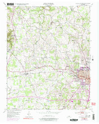
USGS Topo · Published 1979About this map
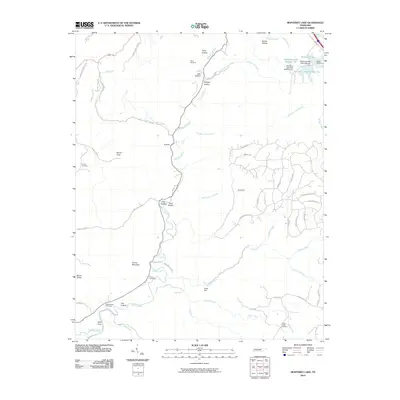
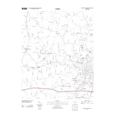
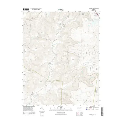
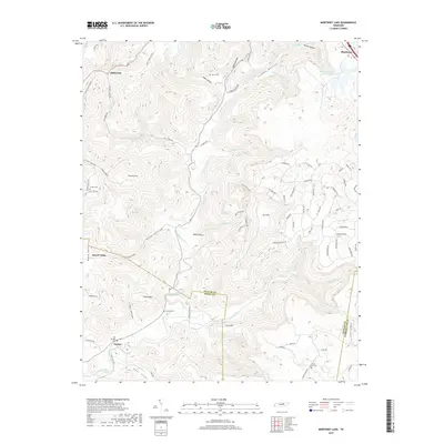
Calfkiller River winds through the deep valleys of the Cumberland Plateau, defining a landscape where small settlements and family churches are carved into the natural coves. This mid-century survey reveals a rural Tennessee interior characterized by remote hollows such as Verble Hollow and Tayes Hollow, where community life centered around places like Mill Creek Ch and the Robinson Sch. The topography is dominated by large, enclosed landforms including Round Cove, Icy Cove, and England Cove, which dictated the early settlement patterns and road placements.
Find a feature on this map
39 named features on this map. Tap any name to fly to it.
Don’t see what you’re looking for? This feature index may not catch every label — zoom into the map to look around manually.
Map Details
Editions of this 1956 Monterey Lake Map
3 editions found
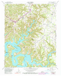
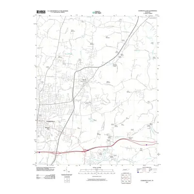
Historical Maps of Monterey Through Time
25 maps found
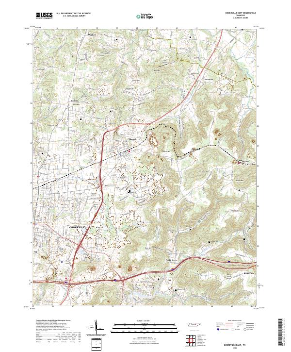
1953 Cookeville East
Putnam County, TN
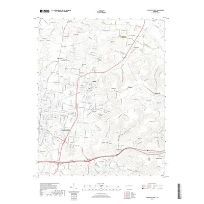
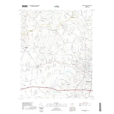
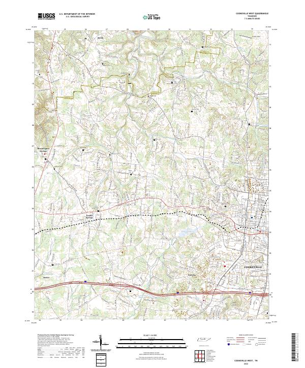
1953 Cookeville West
Putnam County, TN
1955 Monterey Lake
Putnam County, TN
1956 Monterey Lake
Putnam County, TN
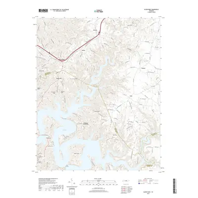
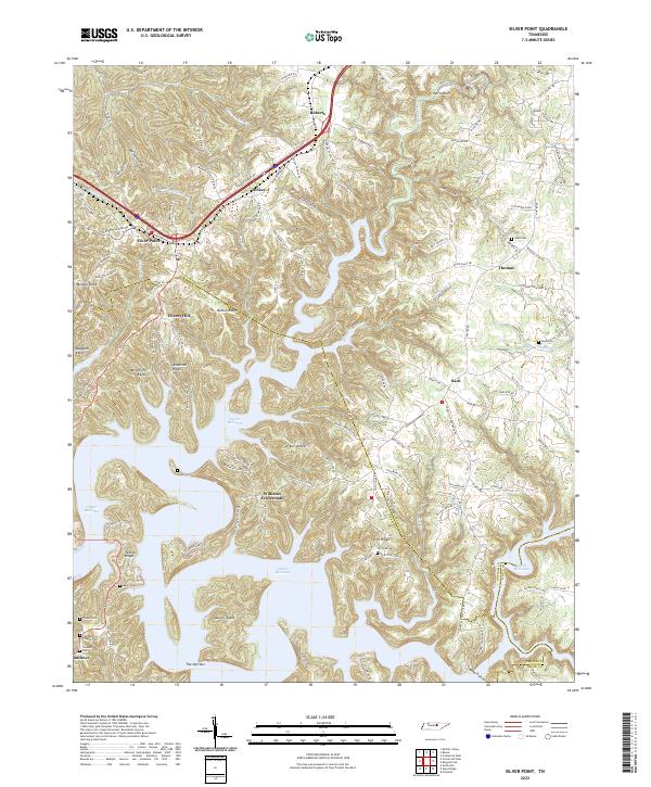
1956 Silver Point
Putnam County, TN
2010 Cookeville East
Putnam County, TN
2010 Cookeville West
Putnam County, TN
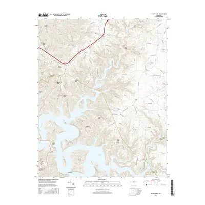
2010 Monterey Lake
Putnam County, TN
2010 Silver Point
Putnam County, TN
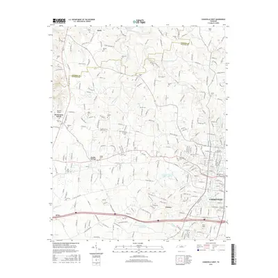
2013 Cookeville East
Putnam County, TN
2013 Cookeville West
Putnam County, TN
2013 Monterey Lake
Putnam County, TN
2013 Silver Point
Putnam County, TN
2016 Cookeville East
Putnam County, TN
2016 Cookeville West
Putnam County, TN
2016 Monterey Lake
Putnam County, TN
2016 Silver Point
Putnam County, TN
2019 Cookeville East
Putnam County, TN
2019 Cookeville West
Putnam County, TN
2019 Monterey Lake
Putnam County, TN
2019 Silver Point
Putnam County, TN
2022 Cookeville East
Putnam County, TN
2022 Cookeville West
Putnam County, TN
2022 Monterey Lake
Putnam County, TN
2022 Silver Point
Putnam County, TN