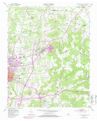
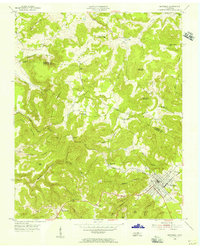
1953 Map of Cookeville East
USGS Topo · Published 1986About this map
Cookeville and Algood serve as the primary hubs on this mid-century survey, which reveals the transition from valley agriculture to modern infrastructure in Putnam County. The Seaboard System Railroad cuts across the center of the sheet, connecting industrial sites like the Quarry on Algood Mountain to the larger transportation network. Educational and spiritual landmarks are frequent throughout the rural landscape, including Bangham Sch in the north and the Macedonia Ch to the east.
Find a feature on this map
70 named features on this map. Tap any name to fly to it.
Don’t see what you’re looking for? This feature index may not catch every label — zoom into the map to look around manually.
Map Details
Editions of this 1953 Cookeville East Map
5 editions found
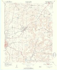
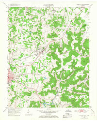
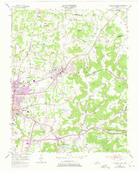
Other maps of this area

1897 · Standingstone
USGS Topo · 1:125,000

1898 · Standingstone
USGS Topo · 1:125,000

1925 · Gainesboro
USGS Topo · 1:62,500

1929 · Gainesboro
USGS Topo · 1:62,500

1943 · Cookeville
USGS Topo · 1:100,000

1944 · Cookeville
USGS Topo · 1:100,000

1951 · Windle
USGS Topo · 1:24,000

1953 · Cookeville East
USGS Topo · 1:24,000

1953 · Cookeville West
USGS Topo · 1:24,000
1955 · Monterey Lake
USGS Topo · 1:24,000