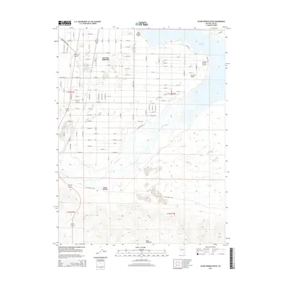
2014 Map of Silver Springs South
USGS Topo · Published 2014About this map
Silver Springs sits at the northern edge of this high-desert landscape, where the residential grid of the town meets the open terrain of the Churchill Valley. To the east, the shoreline of the Lahontan Reservoir and the Silver Springs Beach area indicate the importance of water management and recreation in this arid region. The Carson River winds through the center of the sheet, its path mirrored by irrigation efforts such as the Buckland Ditch.
Find a feature on this map
31 named features on this map. Tap any name to fly to it.
Don’t see what you’re looking for? This feature index may not catch every label — zoom into the map to look around manually.
Map Details
Editions of this 2014 Silver Springs South Map
This is the sole edition of this map. No revisions or reprints were ever made.
Other maps of this area

1891 · Wabuska
USGS Topo · 1:125,000

1894 · Wabuska
USGS Topo · 1:125,000

1957 · Como
USGS Topo · 1:62,500

1957 · Wabuska
USGS Topo · 1:62,500

1957 · Churchill Butte
USGS Topo · 1:62,500

1957 · Silver Springs
USGS Topo · 1:62,500

1957 · Reno
USGS Topo · 1:250,000

1959 · Reno
USGS Topo · 1:250,000

1960 · Reno
USGS Topo · 1:250,000

1979 · Carson City
USGS Topo · 1:100,000