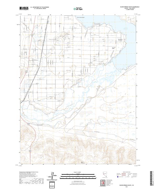
2021 Map of Silver Springs South
USGS Topo · Published 2021About this map
Silver Springs Beach serves as a primary access point to the northern reaches of the Lahontan Reservoir, where the desert terrain of the Churchill Valley meets the water. The landscape is defined by the Big Bend of the Carson, a significant hydrological feature just east of the expansive Lahontan State Rec Area. To the south, the terrain rises into the rugged Desert Mountains, while the valley floor is etched with the historical path of the Pony Express Rte.
Find a feature on this map
92 named features on this map. Tap any name to fly to it.
Don’t see what you’re looking for? This feature index may not catch every label — zoom into the map to look around manually.
Map Details
Editions of this 2021 Silver Springs South Map
This is the sole edition of this map. No revisions or reprints were ever made.
Other maps of this area

1891 · Wabuska
USGS Topo · 1:125,000

1894 · Wabuska
USGS Topo · 1:125,000

1957 · Como
USGS Topo · 1:62,500

1957 · Wabuska
USGS Topo · 1:62,500

1957 · Churchill Butte
USGS Topo · 1:62,500

1957 · Silver Springs
USGS Topo · 1:62,500

1957 · Reno
USGS Topo · 1:250,000

1959 · Reno
USGS Topo · 1:250,000

1960 · Reno
USGS Topo · 1:250,000

1979 · Carson City
USGS Topo · 1:100,000