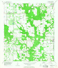
2024 Map of Silverhill
USGS Topo · Published 2024About this map
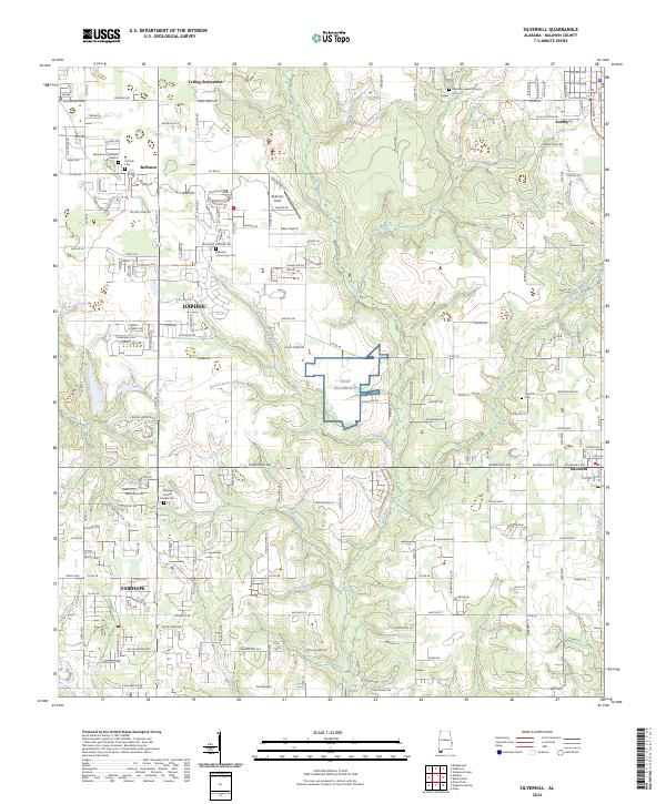
Yelling Settlement and the small-town centers of Silverhill and Belforest anchor this section of Baldwin County, where rural agriculture meets growing residential development. The landscape is defined by the winding course of the Fish River and its numerous tributaries, such as Corn Branch and Caney Branch, which carve through the terrain. Local heritage is deeply etched into the land through sites like the Ebenezer Baptist Church and several community burial grounds, including the Fairhope Friends Quaker Cem and Catholic Cem.
Find a feature on this map
109 named features on this map. Tap any name to fly to it.
Don’t see what you’re looking for? This feature index may not catch every label — zoom into the map to look around manually.
Map Details
Editions of this 2024 Silverhill Map
This is the sole edition of this map. No revisions or reprints were ever made.
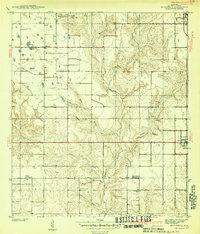
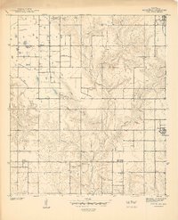
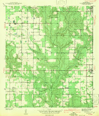
Historical Maps of Yelling Settlement Through Time
5 maps found