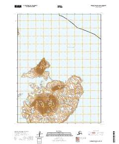
2020 Map of Simeonof Island D-1 NW
USGS Topo · Published 2020About this map
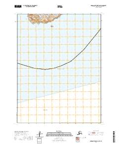
Simeonof Island anchors this remote maritime landscape within the Shumagin Islands group of the Aleutians East region. The coastline is defined by the protected waters of Simeonof Harbor, a critical geographic feature for navigating these northern reaches. The surrounding hydrography includes the Twelve Fathom Strait to the northwest and the Murie Islets off the western shore, where the land meets the vast expanse of the Gulf of Alaska and the Pacific Ocean. This modern survey provides precise topographic contours of the island's elevation, illustrating the transition from sea level to the high ridges that overlook the harbor and the surrounding straits.
Find a feature on this map
11 named features on this map. Tap any name to fly to it.
Don’t see what you’re looking for? This feature index may not catch every label — zoom into the map to look around manually.
Map Details
Editions of this 2020 Simeonof Island D-1 NW Map
This is the sole edition of this map. No revisions or reprints were ever made.
Other maps of this area

1951 · Stepovak Bay
USGS Topo · 1:250,000
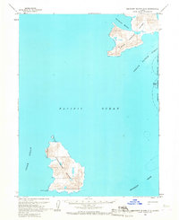
1963 · Simeonof Island D-2
USGS Topo · 1:63,360

1963 · Simeonof Island D-1
USGS Topo · 1:63,360
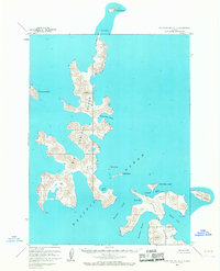
1963 · Stepovak Bay A-5
USGS Topo · 1:63,360

1963 · Simeonof Island
USGS Topo · 1:250,000

1963 · Stepovak Bay
USGS Topo · 1:250,000

1967 · Simeonof Island
USGS Topo · 1:250,000

1969 · Stepovak Bay
USGS Topo · 1:250,000
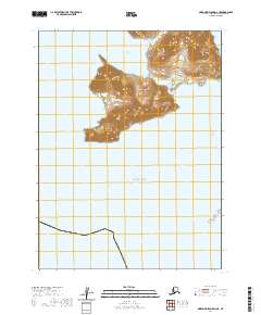
2020 · Simeonof Island D-2 NE
USGS Topo · 1:25,000
2020 · Simeonof Island D-1 SW
USGS Topo · 1:25,000