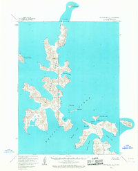
1963 Map of Stepovak Bay A-5
USGS Topo · Published 1967About this map
Big Koniuji Island and Little Koniuji Island dominate this coastal survey of the Shumagin Islands, situated where the Pacific Ocean meets the complex shorelines of the Alaska Peninsula. The intricate topography of the islands is defined by numerous sheltered inlets and points, including the deep indentations of Flying Eagle Harbor and Yukon Harbor on the larger island, and Northeast Harbor on its smaller neighbor. These natural maritime features, separated by the narrow Koniuji Strait, provide a detailed look at the island chain's geometry as it was recorded in the early 1960s.
Find a feature on this map
18 named features on this map. Tap any name to fly to it.
Don’t see what you’re looking for? This feature index may not catch every label — zoom into the map to look around manually.
Map Details
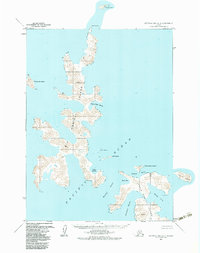
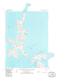
Editions of this 1963 Stepovak Bay A-5 Map
3 editions found
Other maps of this area

1951 · Stepovak Bay
USGS Topo · 1:250,000
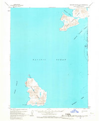
1963 · Simeonof Island D-2
USGS Topo · 1:63,360

1963 · Simeonof Island D-1
USGS Topo · 1:63,360
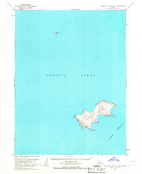
1963 · Simeonof Island D-3
USGS Topo · 1:63,360
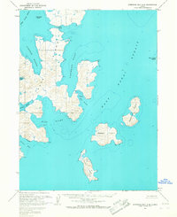
1963 · Stepovak Bay A-6
USGS Topo · 1:63,360
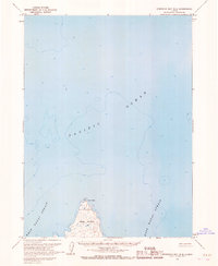
1963 · Stepovak Bay B-6
USGS Topo · 1:63,360

1963 · Simeonof Island
USGS Topo · 1:250,000

1963 · Stepovak Bay
USGS Topo · 1:250,000

1967 · Simeonof Island
USGS Topo · 1:250,000

1969 · Stepovak Bay
USGS Topo · 1:250,000