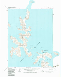
1963 Map of Stepovak Bay A-5
USGS Topo · Published 1983About this map
Big Koniuji Island and Little Koniuji Island dominate this coastal survey, separated by the narrow Koniuji Strait. This maritime landscape is defined by its deep protective waters, including Flying Eagle Harbor and Yukon Harbor on the larger island, and Northwest Harbor and Northeast Harbor on the smaller eastern island. The topographic detail, based on 1950s and 1960s aerial photography, captures a complex shoreline of points and coves like Entrance Pt and Sandy Cove. Scattered across the surrounding Pacific Ocean are isolated landforms such as Atkins Island, Hall Island, and the distant Castle Rock to the north. While devoid of named settlements, the map provides precise hydrographic data for mariners and researchers focused on the remote islands of the Aleutian chain, revealing a wilderness of steep ridges and sheltered bays.
Find a feature on this map
18 named features on this map. Tap any name to fly to it.
Don’t see what you’re looking for? This feature index may not catch every label — zoom into the map to look around manually.
Map Details
Editions of this 1963 Stepovak Bay A-5 Map
3 editions found
Other maps of this area

1951 · Stepovak Bay
USGS Topo · 1:250,000
1963 · Simeonof Island D-2
USGS Topo · 1:63,360

1963 · Simeonof Island D-1
USGS Topo · 1:63,360
1963 · Simeonof Island D-3
USGS Topo · 1:63,360
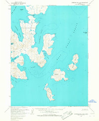
1963 · Stepovak Bay A-6
USGS Topo · 1:63,360
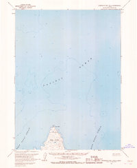
1963 · Stepovak Bay B-6
USGS Topo · 1:63,360
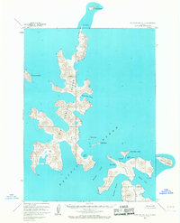
1963 · Stepovak Bay A-5
USGS Topo · 1:63,360

1963 · Simeonof Island
USGS Topo · 1:250,000

1963 · Stepovak Bay
USGS Topo · 1:250,000

1967 · Simeonof Island
USGS Topo · 1:250,000