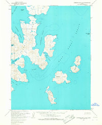
1963 Map of Stepovak Bay A-6
USGS Topo · Published 1967About this map
Nagai Island and its surrounding archipelago dominate this 1960s hydrographic and topographic study of the Shumagin Islands. The map captures a maritime landscape defined by intricate inlets and natural anchorages, such as Sanborn Harbor and the curiously named The Kitchen near Catons Cove. Grounded in data from mid-century aerial photography and coastal surveys, the document details the seafloor depths of the West Nagai Strait and East Strait, providing a snapshot of the region's navigation hazards and rugged coastal geography before modern GPS. Notable land features like Pirate Shake and Mist Harbor provide specific points of reference for those studying the Aleutians East region. The inclusion of outlying landmasses like Bendel Island and Turner Island illustrates the isolation and geological complexity of this remote Alaskan island chain during the early 1960s.
Find a feature on this map
17 named features on this map. Tap any name to fly to it.
Don’t see what you’re looking for? This feature index may not catch every label — zoom into the map to look around manually.
Map Details
Editions of this 1963 Stepovak Bay A-6 Map
2 editions found
Other maps of this area

1951 · Stepovak Bay
USGS Topo · 1:250,000

1953 · Port Moller
USGS Topo · 1:250,000

1963 · Port Moller A-1
USGS Topo · 1:63,360
1963 · Simeonof Island D-2
USGS Topo · 1:63,360

1963 · Port Moller B-1
USGS Topo · 1:63,360
1963 · Simeonof Island D-3
USGS Topo · 1:63,360
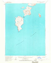
1963 · Simeonof Island D-4
USGS Topo · 1:63,360
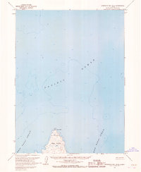
1963 · Stepovak Bay B-6
USGS Topo · 1:63,360
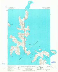
1963 · Stepovak Bay A-5
USGS Topo · 1:63,360

1963 · Simeonof Island
USGS Topo · 1:250,000