
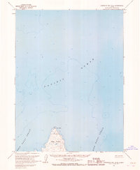
1963 Map of Port Moller A-1
USGS Topo · Published 1966About this map
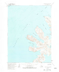
Nagai Island dominates this mid-century maritime survey, showcasing the intricate coastal geography of the Shumagin Islands in the North Pacific Ocean. This map detail reveals a deeply indented shoreline where natural maritime refuges like Sanborn Harbor, Eagle Harbor, and Falmouth Harbor cut into the landmass. The presence of specialized hydrographic data, compiled from USC&GS charts, provides depth soundings across the West Nagai Strait and into smaller inlets like Caton Cove and Porpoise Harbor. Notable landmarks such as Wooly Head and Cape Horn serve as critical navigational markers for the region's shipping routes. The lack of roads or trails on the island emphasizes its maritime-dependent economy and the significance of these sheltered waters for coastal operations in the early 1960s.
Find a feature on this map
17 named features on this map. Tap any name to fly to it.
Don’t see what you’re looking for? This feature index may not catch every label — zoom into the map to look around manually.
Map Details
Editions of this 1963 Port Moller A-1 Map
2 editions found
Other maps of this area

1951 · Stepovak Bay
USGS Topo · 1:250,000

1953 · Port Moller
USGS Topo · 1:250,000

1963 · Port Moller A-2
USGS Topo · 1:63,360

1963 · Port Moller B-2
USGS Topo · 1:63,360

1963 · Port Moller B-1
USGS Topo · 1:63,360
1963 · Simeonof Island D-3
USGS Topo · 1:63,360
1963 · Stepovak Bay A-6
USGS Topo · 1:63,360
1963 · Simeonof Island D-4
USGS Topo · 1:63,360
1963 · Stepovak Bay B-6
USGS Topo · 1:63,360

1963 · Simeonof Island
USGS Topo · 1:250,000