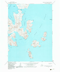
1963 Map of Stepovak Bay A-6
USGS Topo · Published 1984About this map
Nagai Island dominates this maritime survey, revealing a complex coastline of deep-water harbors and narrow straits in the Shumagin Islands. Traced from aerial photography in the late 1950s and early 1960s, the map identifies protected anchorages like Porpoise Harbor and Sanborn Harbor that have long served as refuge for North Pacific mariners. The eastern reaches are defined by the wide expanse of the Nagai Strait, which separates the main island from a series of smaller landmasses including Bendel Island, Spectacle Island, and Turner Island.
Find a feature on this map
19 named features on this map. Tap any name to fly to it.
Don’t see what you’re looking for? This feature index may not catch every label — zoom into the map to look around manually.
Map Details
Editions of this 1963 Stepovak Bay A-6 Map
2 editions found
Other maps of this area

1951 · Stepovak Bay
USGS Topo · 1:250,000

1953 · Port Moller
USGS Topo · 1:250,000

1963 · Port Moller A-1
USGS Topo · 1:63,360
1963 · Simeonof Island D-2
USGS Topo · 1:63,360

1963 · Port Moller B-1
USGS Topo · 1:63,360
1963 · Simeonof Island D-3
USGS Topo · 1:63,360
1963 · Stepovak Bay A-6
USGS Topo · 1:63,360
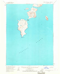
1963 · Simeonof Island D-4
USGS Topo · 1:63,360
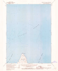
1963 · Stepovak Bay B-6
USGS Topo · 1:63,360
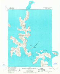
1963 · Stepovak Bay A-5
USGS Topo · 1:63,360