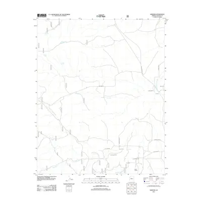
2012 Map of Simmons
USGS Topo · Published 2012About this map
The settlement of Simmons serves as the focal point for this Yavapai County landscape, where the northern reach of the Williamson Valley Wash dictates the layout of the land. This era of land use is characterized by a network of established ranching operations, including the Seven V Ranch, Cross Triangle Ranch, and Long Meadow Ranch, all of which are connected by primitive roads and drainage-based landmarks. Water management is central to life here, evidenced by numerous named reservoirs and catchments such as Sampson Tank, Stewart Dam Tank, and Mud Tank. The terrain transitions from the broader valley floors into more defined features like Long Canyon, with travel routes like N Williamson Valley Rd and Camp Wood Rd providing the primary access through these remote stretches of the Arizona high country.
Find a feature on this map
44 named features on this map. Tap any name to fly to it.
Don’t see what you’re looking for? This feature index may not catch every label — zoom into the map to look around manually.
Map Details
Editions of this 2012 Simmons Map
This is the sole edition of this map. No revisions or reprints were ever made.
Other maps of this area

1887 · Prescott
USGS Topo · 1:250,000

1892 · Prescott
USGS Topo · 1:250,000

1947 · Simmons
USGS Topo · 1:62,500

1947 · Iron Springs
USGS Topo · 1:62,500

1947 · Sheridan Mountain
USGS Topo · 1:62,500

1947 · Camp Wood
USGS Topo · 1:62,500

1948 · Sheridan Mountain
USGS Topo · 1:63,360

1948 · Iron Springs
USGS Topo · 1:63,360

1948 · Camp Wood
USGS Topo · 1:63,360

1948 · Simmons
USGS Topo · 1:63,360