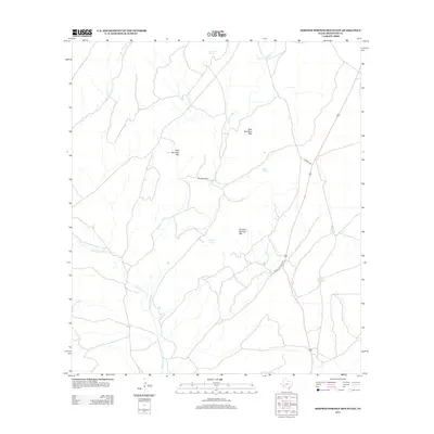
2012 Map of Simpson Springs Mountain
USGS Topo · Published 2012About this map
Bourland Ranch and the surrounding high ground of the Big Bend region define this part of Brewster County. This area is characterized by ephemeral water sources and significant topographic rises, notably East Bourland Mtn and West Bourland Mtn. The hydrology of the landscape is dictated by seasonal drainages such as Peña Colorado Cr and Maravillas Cr, which are supported by various groundwater points including Sunshine Springs, Simpson Springs, and Mud Spring. Modern infrastructure is limited to remote corridors like Miravillas Creek Rd and R Road 2730, reflecting a land use still tied to large-scale ranching and the natural limitations of the Chihuahuan Desert environment. These named springs and mountain peaks serve as critical landmarks for navigation in a region where water is the primary driver of human presence.
Find a feature on this map
14 named features on this map. Tap any name to fly to it.
Don’t see what you’re looking for? This feature index may not catch every label — zoom into the map to look around manually.
Map Details
Editions of this 2012 Simpson Springs Mountain Map
This is the sole edition of this map. No revisions or reprints were ever made.
Other maps of this area

1917 · Santiago Peak
USGS Topo · 1:62,500

1917 · Hood Spring
USGS Topo · 1:62,500

1918 · Bone Spring
USGS Topo · 1:125,000

1918 · Hood Spring
USGS Topo · 1:62,500

1918 · Santiago Peak
USGS Topo · 1:62,500

1920 · Monument Spring
USGS Topo · 1:62,500

1920 · Marathon
USGS Topo · 1:62,500

1921 · Monument Spring
USGS Topo · 1:62,500

1921 · Marathon
USGS Topo · 1:62,500

1931 · Hood Spring
USGS Topo · 1:62,500