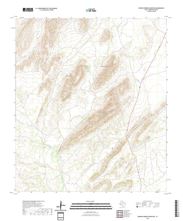
2022 Map of Simpson Springs Mountain
USGS Topo · Published 2022About this map
Simpson Springs Mtn and the surrounding high desert peaks dominate this portion of Brewster County, where reliable water sources have historically dictated movement across the landscape. The namesake Simpson Springs lies at the base of the mountain, joined by a network of seasonal drainages including Peña Colorado Cr and Maravillas Cr. This topographical study reveals the isolation of the Bourland range, split into West Bourland Mtn and East Bourland Mtn. The prevalence of named water points like Garden Springs, Mud Spring, and Sunshine Springs indicates the vital importance of these oases for ranching and wildlife in an otherwise arid environment. Along the eastern edge, the corridor for 385 and R RD 2730 provides the primary modern access through this rugged basin-and-range territory.
Find a feature on this map
13 named features on this map. Tap any name to fly to it.
Don’t see what you’re looking for? This feature index may not catch every label — zoom into the map to look around manually.
Map Details
Editions of this 2022 Simpson Springs Mountain Map
This is the sole edition of this map. No revisions or reprints were ever made.
Other maps of this area

1917 · Santiago Peak
USGS Topo · 1:62,500

1917 · Hood Spring
USGS Topo · 1:62,500

1918 · Bone Spring
USGS Topo · 1:125,000

1918 · Hood Spring
USGS Topo · 1:62,500

1918 · Santiago Peak
USGS Topo · 1:62,500

1920 · Monument Spring
USGS Topo · 1:62,500

1920 · Marathon
USGS Topo · 1:62,500

1921 · Monument Spring
USGS Topo · 1:62,500

1921 · Marathon
USGS Topo · 1:62,500

1931 · Hood Spring
USGS Topo · 1:62,500