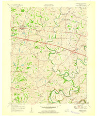
1960 Map of Simpsonville
USGS Topo · Published 1960About this map
Simpsonville serves as the primary hub of this Shelby County landscape, where the Midland Trail and the Louisville and Nashville tracks parallel each other through the northern fields. The geography is defined by the winding paths of Bullskin Creek and the deep meanders of Brashears Creek to the south, creating a complex drainage system that shaped early settlement patterns.
Find a feature on this map
32 named features on this map. Tap any name to fly to it.
Don’t see what you’re looking for? This feature index may not catch every label — zoom into the map to look around manually.
Map Details
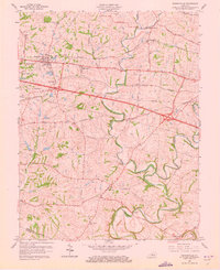
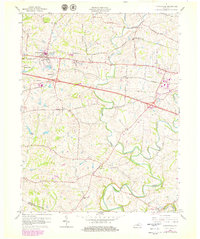
Editions of this 1960 Simpsonville Map
3 editions found
Other maps of this area

1923 · Waddy
USGS Topo · 1:48,000

1925 · Mount Eden
USGS Topo · 1:48,000

1927 · Mount Eden
USGS Topo · 1:62,500

1928 · New Castle
USGS Topo · 1:48,000

1929 · Taylorsville
USGS Topo · 1:62,500

1932 · New Castle
USGS Topo · 1:62,500

1932 · La Grange
USGS Topo · 1:62,500

1951 · Crestwood
USGS Topo · 1:24,000

1951 · Fisherville
USGS Topo · 1:24,000

1951 · Waterford
USGS Topo · 1:24,000