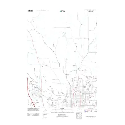
2013 Map of Sioux City North
USGS Topo · Published 2013About this map
North Sioux City and the Riverside neighborhood anchor the confluence of the Big Sioux River and the Floyd River in this 2013 geographic portrait. The map reveals a transition from the dense urban grid of Sioux City North to the northern rural reaches near Yeomans and Brookdale. Landmarks such as the Graham Field Airport and Trinity Heights illustrate the diverse land use at the city's edge, where residential communities like Mount Lucia meet recreation areas like the Sun Valley Golf Course.
Find a feature on this map
117 named features on this map. Tap any name to fly to it.
Don’t see what you’re looking for? This feature index may not catch every label — zoom into the map to look around manually.
Map Details
Editions of this 2013 Sioux City North Map
This is the sole edition of this map. No revisions or reprints were ever made.
Other maps of this area

1898 · Elk Point
USGS Topo · 1:125,000

1901 · Elk Point
USGS Topo · 1:125,000

1907 · Elk Point
USGS Topo · 1:125,000

1955 · Sioux City
USGS Topo · 1:250,000

1958 · Sioux City
USGS Topo · 1:250,000

1959 · Sioux City
USGS Topo · 1:250,000

1963 · Sioux City South
USGS Topo · 1:24,000

1963 · Sioux City North
USGS Topo · 1:24,000

1963 · Elk Point NE
USGS Topo · 1:24,000

1963 · Jefferson
USGS Topo · 1:24,000