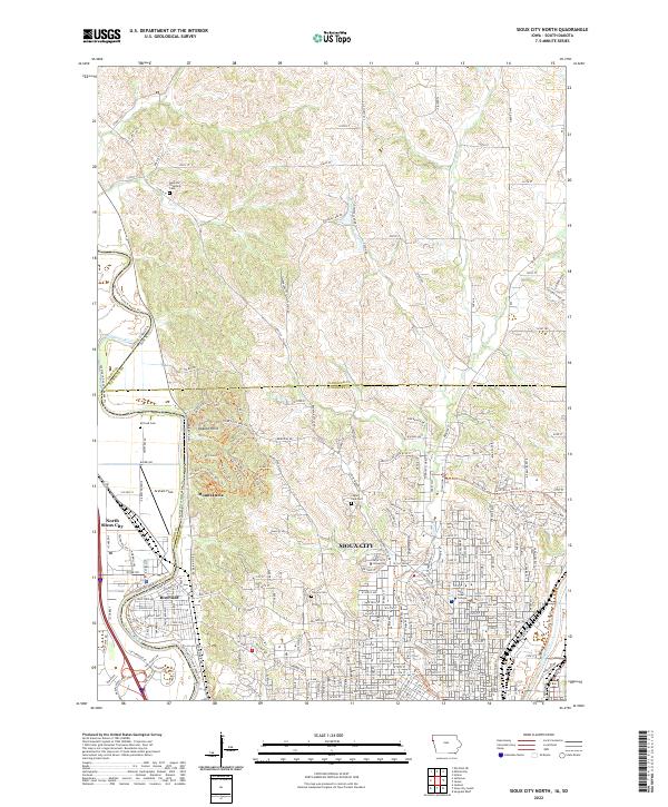
2022 Map of Sioux City North
USGS Topo · Published 2022About this map
Stone State Park dominates the central landscape of this Woodbury County area, where the rugged terrain of the Loess Hills meets the winding course of the Big Sioux River. This transition from high bluffs to the river valley is marked by prominent elevations like Dakota Point and Mount Lucia, which overlook the borders of Iowa, South Dakota, and Nebraska. The urban development of Sioux City spreads across the southern half of the map, featuring educational institutions such as Briar Cliff University and Saint Luke's College. The map reveals a dense network of suburban and rural roads, including Broken Kettle Rd and Co Rd K18, alongside numerous local landmarks such as Graham Field and several historical burial grounds like Hancock Township Cem and Logan Park Cem. This 2022 survey provides an intricate view of the modern residential and academic infrastructure established atop this unique geological formation.
Find a feature on this map
143 named features on this map. Tap any name to fly to it.
Don’t see what you’re looking for? This feature index may not catch every label — zoom into the map to look around manually.
Map Details
Editions of this 2022 Sioux City North Map
This is the sole edition of this map. No revisions or reprints were ever made.
Other maps of this area

1898 · Elk Point
USGS Topo · 1:125,000

1901 · Elk Point
USGS Topo · 1:125,000

1907 · Elk Point
USGS Topo · 1:125,000

1955 · Sioux City
USGS Topo · 1:250,000

1958 · Sioux City
USGS Topo · 1:250,000

1959 · Sioux City
USGS Topo · 1:250,000

1963 · Sioux City South
USGS Topo · 1:24,000

1963 · Sioux City North
USGS Topo · 1:24,000

1963 · Elk Point NE
USGS Topo · 1:24,000

1963 · Jefferson
USGS Topo · 1:24,000