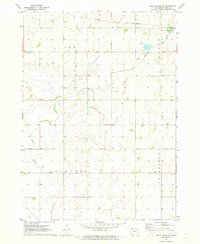
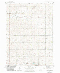
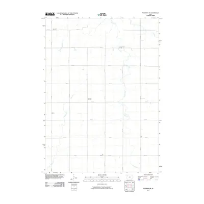
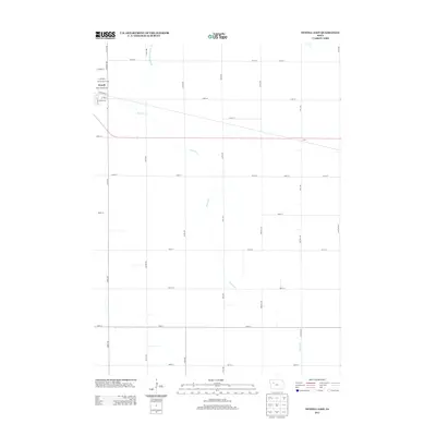
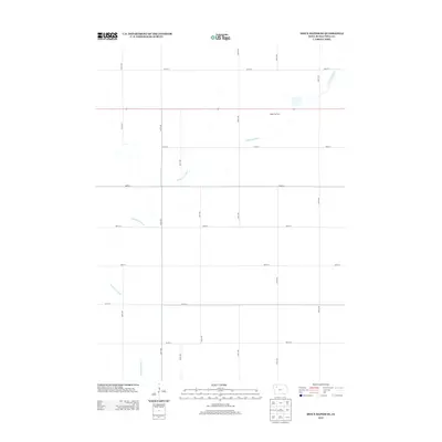
1971 Map of Sioux Rapids SE
USGS Topo · Published 1971About this map
North Raccoon River winds through the rural heart of Buena Vista County, defining the drainage patterns and land use of the southeastern Iowa prairie. This 1971 survey captures the agricultural and industrial landscape of the townships of Lee, Poland, Lincoln, and Fairfield. The transportation corridor is anchored by the Chicago and North Western railroad, which parallels the river in the north. Local industry is marked by scattered extraction sites such as the Gravel Pit near the riverbanks. The intersection of public recreation and the natural environment is evidenced by Marathon Poland Park, situated where the rail line and river converge. The map illustrates a meticulously gridded landscape, where section lines and small creek beds dictate the placement of farmsteads and rural infrastructure.
Find a feature on this map
8 named features on this map. Tap any name to fly to it.
Don’t see what you’re looking for? This feature index may not catch every label — zoom into the map to look around manually.
Map Details
Editions of this 1971 Sioux Rapids SE Map
This is the sole edition of this map. No revisions or reprints were ever made.
Historical Maps of Buena Vista County Through Time
36 maps found
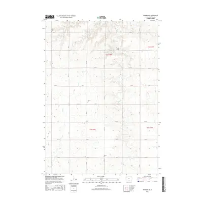
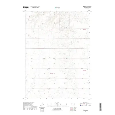
1971 Peterson SE
Buena Vista County, IA
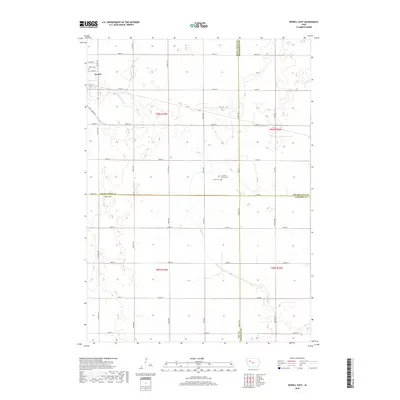
1971 Sioux Rapids SE
Buena Vista County, IA
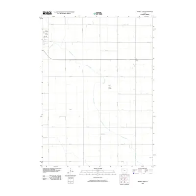
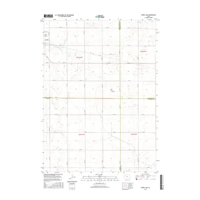
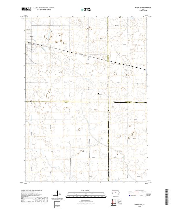
1979 Newell East
Buena Vista County, IA
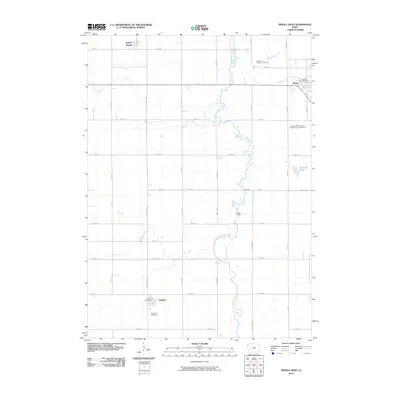
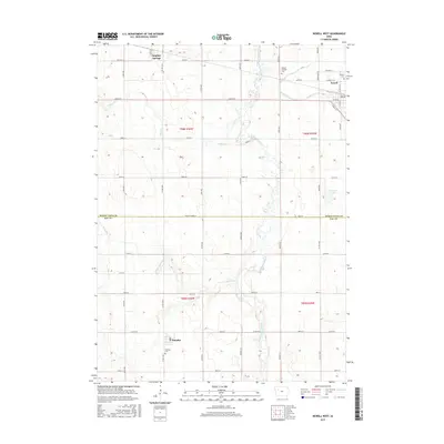
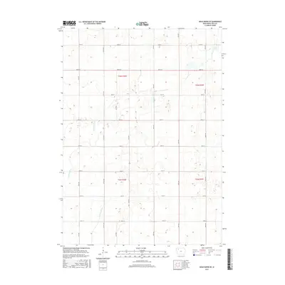
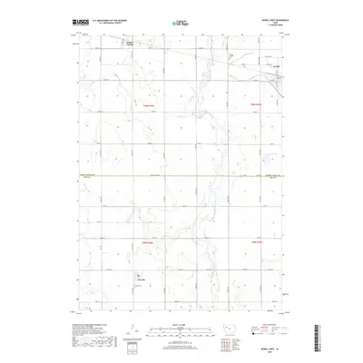
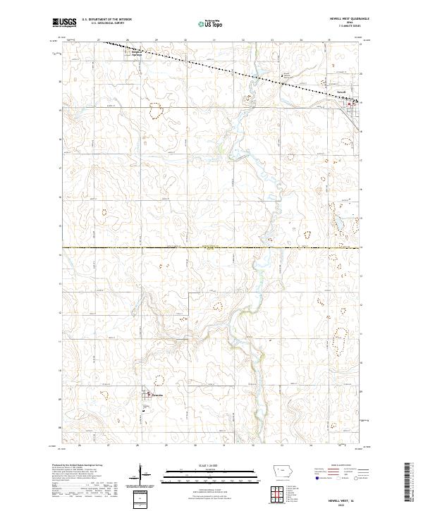
1979 Newell West
Buena Vista County, IA
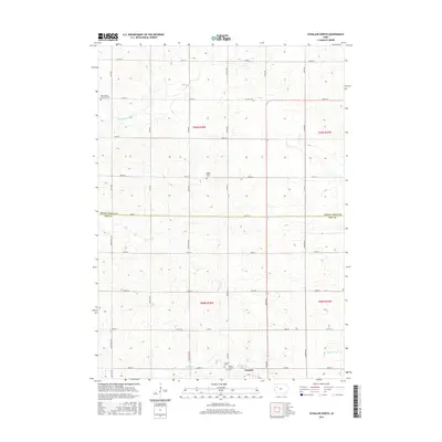
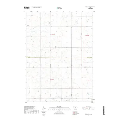
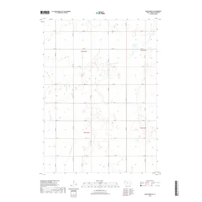
1979 Schaller North
Buena Vista County, IA
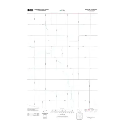
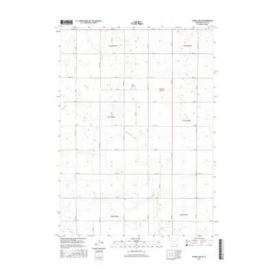
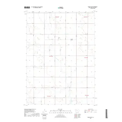
1979 Storm Lake NE
Buena Vista County, IA
2010 Newell East
Buena Vista County, IA
2010 Newell West
Buena Vista County, IA
2010 Peterson SE
Buena Vista County, IA
2010 Schaller North
Buena Vista County, IA
2010 Sioux Rapids SE
Buena Vista County, IA
2010 Storm Lake NE
Buena Vista County, IA
2013 Newell East
Buena Vista County, IA
2013 Newell West
Buena Vista County, IA
2013 Peterson SE
Buena Vista County, IA
2013 Schaller North
Buena Vista County, IA
2013 Sioux Rapids SE
Buena Vista County, IA
2013 Storm Lake NE
Buena Vista County, IA
2015 Newell East
Buena Vista County, IA
2015 Newell West
Buena Vista County, IA
2015 Peterson SE
Buena Vista County, IA
2015 Schaller North
Buena Vista County, IA
2015 Sioux Rapids SE
Buena Vista County, IA
2015 Storm Lake NE
Buena Vista County, IA
2018 Newell East
Buena Vista County, IA
2018 Newell West
Buena Vista County, IA
2018 Peterson SE
Buena Vista County, IA
2018 Schaller North
Buena Vista County, IA
2018 Sioux Rapids SE
Buena Vista County, IA
2018 Storm Lake NE
Buena Vista County, IA
2022 Newell East
Buena Vista County, IA
2022 Newell West
Buena Vista County, IA
2022 Peterson SE
Buena Vista County, IA
2022 Schaller North
Buena Vista County, IA
2022 Sioux Rapids SE
Buena Vista County, IA
2022 Storm Lake NE
Buena Vista County, IA