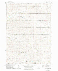
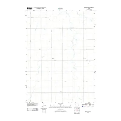
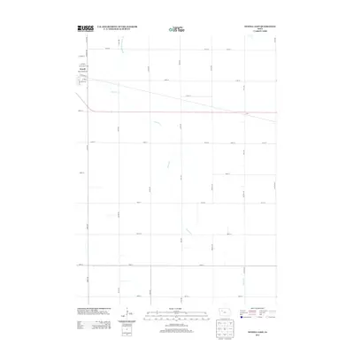
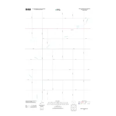
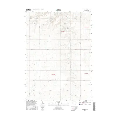
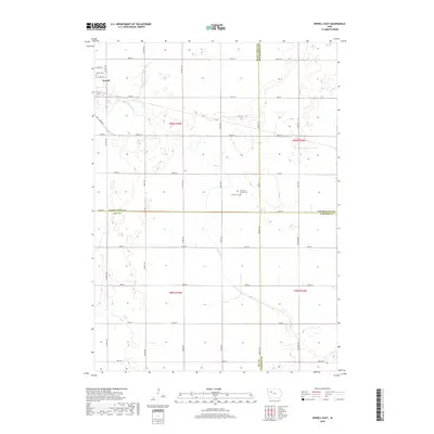
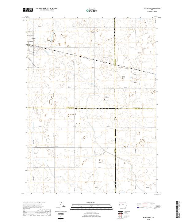
1979 Map of Newell East
USGS Topo · Published 1979About this map
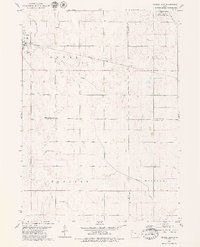
Newell anchors the western edge of this northwest Iowa landscape, where the town's grid is defined by the Illinois Central Gulf railroad. The surrounding countryside is divided among several townships, including Cedar, Douglas, and Williams, reflecting the dense agricultural partitioning of the late 1970s. This survey illustrates a heavily managed hydrology, where natural drainages like Prairie Creek are supplemented by an extensive network of engineered waterways, including Ditch No 1, Ditch No 20, and Ditch No 81.
Find a feature on this map
17 named features on this map. Tap any name to fly to it.
Don’t see what you’re looking for? This feature index may not catch every label — zoom into the map to look around manually.
Map Details
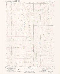
Editions of this 1979 Newell East Map
This is the sole edition of this map. No revisions or reprints were ever made.
Historical Maps of Newell Through Time
36 maps found
1971 Peterson SE
Buena Vista County, IA
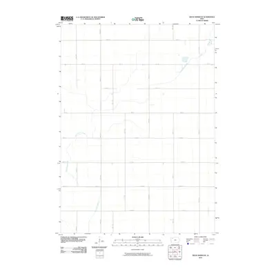
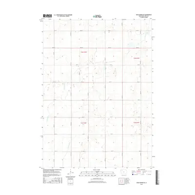
1971 Sioux Rapids SE
Buena Vista County, IA
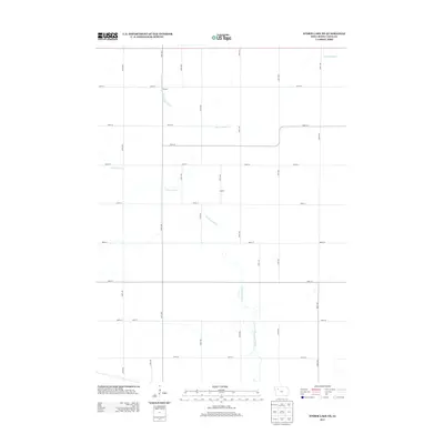
1979 Newell East
Buena Vista County, IA
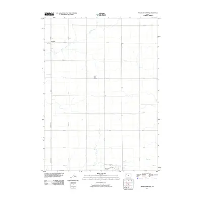
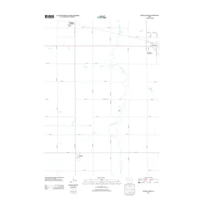
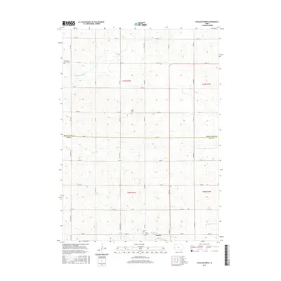
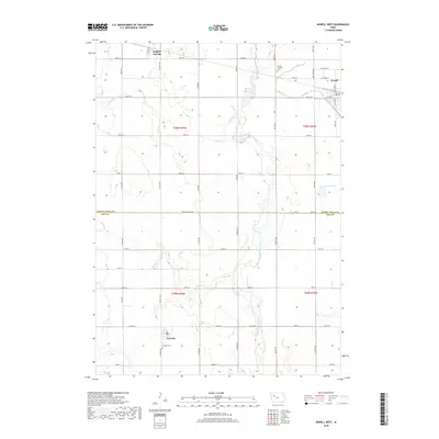
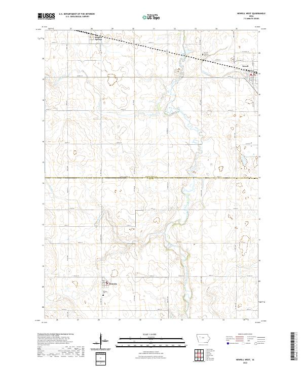
1979 Newell West
Buena Vista County, IA
1979 Schaller North
Buena Vista County, IA
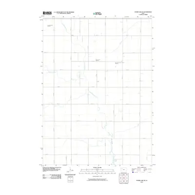
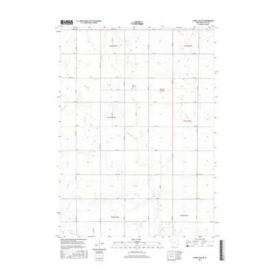
1979 Storm Lake NE
Buena Vista County, IA
2010 Newell East
Buena Vista County, IA
2010 Newell West
Buena Vista County, IA
2010 Peterson SE
Buena Vista County, IA
2010 Schaller North
Buena Vista County, IA
2010 Sioux Rapids SE
Buena Vista County, IA
2010 Storm Lake NE
Buena Vista County, IA
2013 Newell East
Buena Vista County, IA
2013 Newell West
Buena Vista County, IA
2013 Peterson SE
Buena Vista County, IA
2013 Schaller North
Buena Vista County, IA
2013 Sioux Rapids SE
Buena Vista County, IA
2013 Storm Lake NE
Buena Vista County, IA
2015 Newell East
Buena Vista County, IA
2015 Newell West
Buena Vista County, IA
2015 Peterson SE
Buena Vista County, IA
2015 Schaller North
Buena Vista County, IA
2015 Sioux Rapids SE
Buena Vista County, IA
2015 Storm Lake NE
Buena Vista County, IA
2018 Newell East
Buena Vista County, IA
2018 Newell West
Buena Vista County, IA
2018 Peterson SE
Buena Vista County, IA
2018 Schaller North
Buena Vista County, IA
2018 Sioux Rapids SE
Buena Vista County, IA
2018 Storm Lake NE
Buena Vista County, IA
2022 Newell East
Buena Vista County, IA
2022 Newell West
Buena Vista County, IA
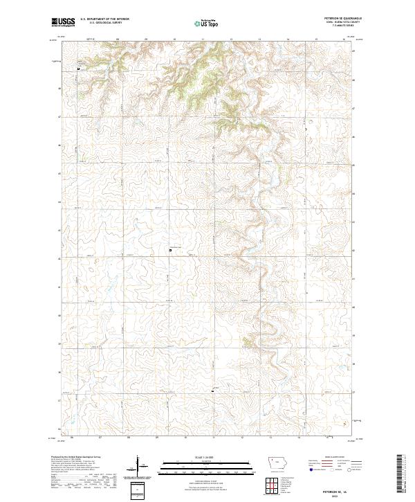
2022 Peterson SE
Buena Vista County, IA
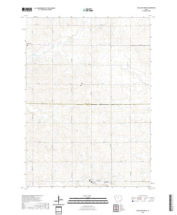
2022 Schaller North
Buena Vista County, IA
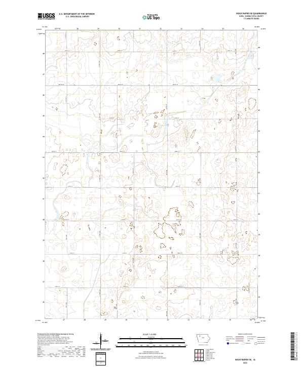
2022 Sioux Rapids SE
Buena Vista County, IA
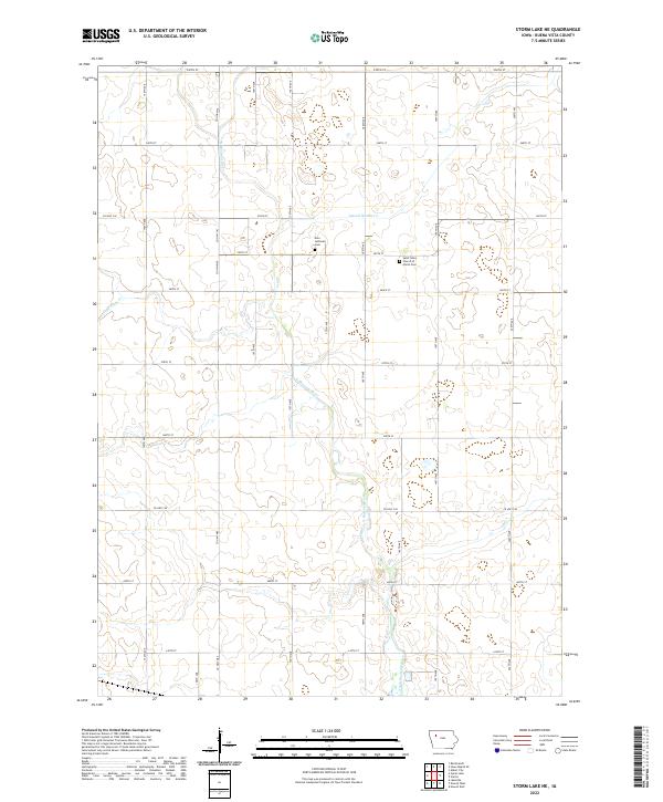
2022 Storm Lake NE
Buena Vista County, IA