Old Maps of Newell, Iowa
Explore 17 old maps of Newell, spanning from 1954 to today. These high-resolution historic maps reveal how streets, neighborhoods, landmarks, and natural features evolved over time — perfect for genealogy, metal detecting, research, and local history exploration.
What you can do with these maps:
- See how Newell changed over time: Compare historical maps to modern-day views to trace roads, homesites, rail lines & more.
- View detailed metadata: Each map includes creators, publishers, year, scale, and archive source.
- Overlay maps with satellite & LiDAR: Visualize the past alongside modern tools to explore terrain & human change.
- Trusted historical sources: Maps sourced from the USGS, Library of Congress, and other archives.
- Access maps your way: View online, download high-res files, or order prints for personal or research use.
Start exploring old maps of Newell to uncover forgotten places, hidden landmarks, and the deep history beneath your feet.
Newell, IA maps
(17)- 1954 Map of Fort Dodge, 1968 Print
 1954 Fort Dodge1968 Print · USGSNorthwest Iowa is shown here during a period of steady industrial and rail activity in the mid-fifties. Researchers can trace the extensive rail lines connecting Fort Dodge to mining and manufacturing sites like Gypsum and Industry Station.3 unique versions available
 - 1957 Map of Fort Dodge
 1957 Fort Dodge1957 Print · USGSWest-central Iowa thrived as a network of rail-linked agricultural hubs and river towns during the mid-fifties. Researchers can trace the development of the Des Moines River valley and locate historic landmarks in Fort Dodge, Storm Lake, and Lehigh.
 - 1958 Map of Fort Dodge
 1958 Fort Dodge1958 Print · USGSWestern Iowa in the mid-1950s reveals a productive landscape of river-valley industry and prairie agricultural hubs. Researchers can trace the development of the Des Moines River corridor through Fort Dodge and locate vanished local landmarks near Coalville or Storm Lake.
 - 1979 Map of Newell West
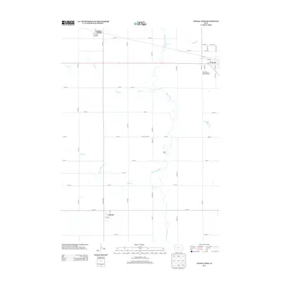
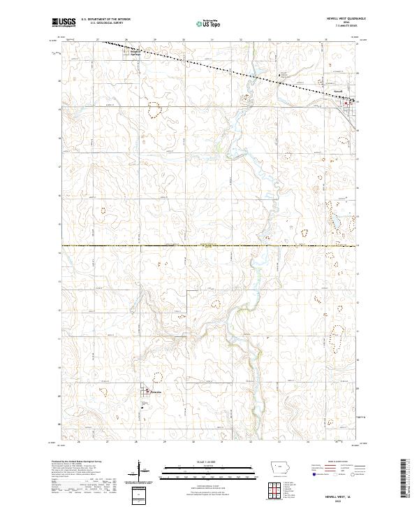
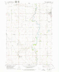 1979 Newell West1979 Print · USGSAgricultural progress and rail connectivity define this Buena Vista County landscape in the late 1970s. Trace the paths of the Illinois Central Gulf through Newell or locate the Iowa State University Allee Experimental Farm.
 - 1979 Map of Newell East
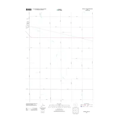
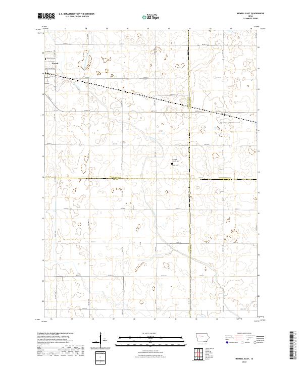
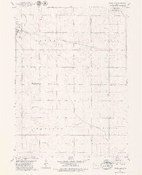 1979 Newell East1979 Print · USGSBuena Vista County farming and rail transport are in focus during the late seventies as the town of Newell expands. Researchers can trace land divisions across Cedar and Douglas townships or locate specific landmarks like Sunken Island Lake and the local Cem.
 - 1984 Map of Humboldt, 1985 Print
 1984 Humboldt1985 Print · USGSNorth Central Iowa in the mid-eighties shows a deeply integrated landscape of agricultural drainage and rail-connected settlements. Trace the rural layout of the era via the Chicago and North Western line, Rush Lake, and Lizard Lake County Park.2 unique versions available
 - 1985 Map of Storm Lake
 1985 Storm Lake1985 Print · USGSNorthwest Iowa's agricultural heartland is documented here in the mid-eighties, showing the vital rail-and-river network of the Little Sioux valley. Researchers can trace the legacy of regional hubs and smaller rail towns like Sutherland, Paullina, and Cherokee.3 unique versions available
 - 2010 Map of Newell East, 2010 Print
 2010 Newell East2010 Print · USGSCovers Newell, including Buena Vista County, Sac County, and other nearby areas
 - 2010 Map of Newell West, 2010 Print
 2010 Newell West2010 Print · USGSCovers Newell, including Nemaha, Sulphur Springs, and other nearby areas
 - 2013 Map of Newell West, 2013 Print
 2013 Newell West2013 Print · USGSCovers Newell, including Nemaha, Sulphur Springs, and other nearby areas
 - 2013 Map of Newell East, 2013 Print
 2013 Newell East2013 Print · USGSCovers Newell, including Buena Vista County, Sac County, and other nearby areas
 - 2015 Map of Newell West, 2015 Print
 2015 Newell West2015 Print · USGSCovers Newell, including Nemaha, Sulphur Springs, and other nearby areas
 - 2015 Map of Newell East, 2015 Print
 2015 Newell East2015 Print · USGSCovers Newell, including Buena Vista County, Sac County, and other nearby areas
 - 2018 Map of Newell East, 2018 Print
 2018 Newell East2018 Print · USGSCovers Newell, including Buena Vista County, Sac County, and other nearby areas
 - 2018 Map of Newell West, 2018 Print
 2018 Newell West2018 Print · USGSCovers Newell, including Nemaha, Sulphur Springs, and other nearby areas
 - 2022 Map of Newell East, 2022 Print
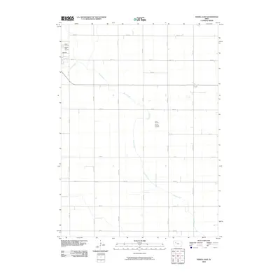
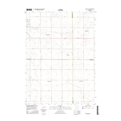
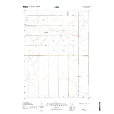
 2022 Newell East2022 Print · USGSThe agricultural heartland of northwest Iowa is captured here in recent years, centered on the community of Newell. Genealogists and local historians can trace legacy sites like Cooke Cem and First M E Church among the section lines and rural crossroads.
 - 2022 Map of Newell West, 2022 Print
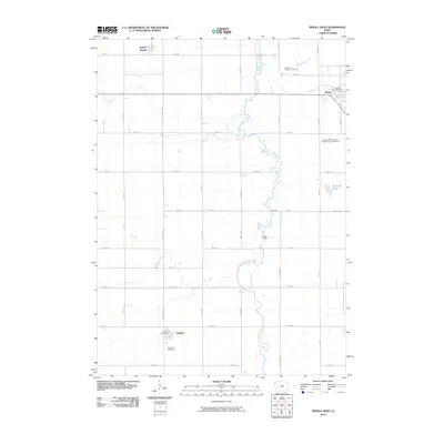
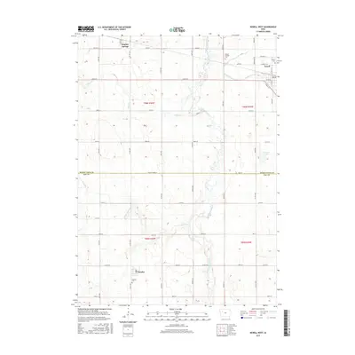
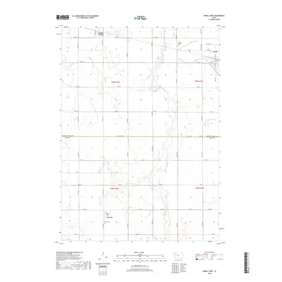
 2022 Newell West2022 Print · USGSThe Buena Vista and Sac County line comes into focus in this recent survey of Northwest Iowa agricultural country. Researchers can trace the layout of Newell and Nemaha or locate family sites near Newell Catholic Prairie Cemetery and the North Raccoon River.
End of results
Showing maps 1-17 of 17
Top cities near Newell
- Storm Lake historical maps
- Sac City historical maps
- Lakeside historical maps
- Albert City historical maps
- Fonda historical maps
- Early historical maps
See more
Frequently asked questions
- What are the different types of historical maps available for Newell?
- What is the oldest map of Newell?
- Where can I purchase historical maps of Newell for my home or office?
- Where can I download high-res historical maps of Newell?
- Are there historical topographic maps available for Newell?
- Is there historical aerial imagery available for Newell?
- Where are historical maps of Newell sourced from?