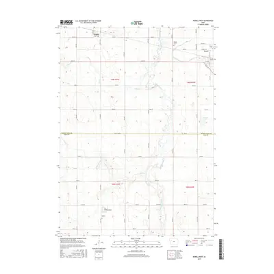
2015 Map of Newell West
USGS Topo · Published 2015About this map
Sulphur Springs and Newell anchor the northern landscape of this agricultural region, where the prairie has been meticulously organized into the sections of the Public Land Survey System. The transition between Buena Vista and Sac counties is marked by the path of the North Raccoon River, which meanders southward through the center of the sheet, joined by smaller tributaries like Outlet Cr and Buck Run. The settlement of Nemaha sits near the southern boundary, surrounded by the geometric grid of county roads such as Co HWY m50 and Co HWY m65. This 2015 survey illustrates a rural Iowa landscape defined by its watercourses and the persistent structure of its farming communities, including local landmarks like Pleasant Lake and the Nemaha Cem.
Find a feature on this map
46 named features on this map. Tap any name to fly to it.
Don’t see what you’re looking for? This feature index may not catch every label — zoom into the map to look around manually.
Map Details
Editions of this 2015 Newell West Map
This is the sole edition of this map. No revisions or reprints were ever made.
Other maps of this area

1954 · Fort Dodge
USGS Topo · 1:250,000

1957 · Fort Dodge
USGS Topo · 1:250,000

1958 · Fort Dodge
USGS Topo · 1:250,000

1979 · Lakeside
USGS Topo · 1:24,000

1979 · Storm Lake
USGS Topo · 1:24,000

1979 · Varina
USGS Topo · 1:24,000

1979 · Newell West
USGS Topo · 1:24,000

1979 · Storm Lake NE
USGS Topo · 1:24,000

1979 · Newell East
USGS Topo · 1:24,000

1980 · Sac City East
USGS Topo · 1:24,000