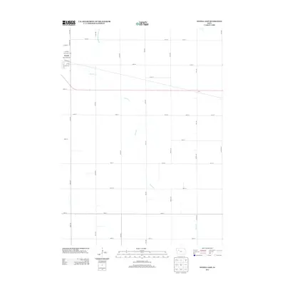
2013 Map of Newell East
USGS Topo · Published 2013About this map
Newell anchors the northwest corner of this Buena Vista County landscape, where the town street grid meets the expansive agricultural section lines of the Iowa prairie. The town's community features, such as the Newell Golf Course, are nestled against the residential edges defined by N Rogers Rd and E Jensen St. Southeast of the main settlement, the land is defined by the winding course of Prairie Creek, which cuts a natural diagonal path through the rigid township-and-range road system. This 2013 survey illustrates the highly organized drainage network essential to local agriculture, including the engineered Drainage Ditch Number 20. Small historical footprints like Cora remain along the rail-aligned thoroughfares, while family-named routes such as Leroy Paulson Rd, Wadsley Ave, and Voss Ave provide essential connections between farmsteads in this productive rural corridor.
Find a feature on this map
40 named features on this map. Tap any name to fly to it.
Don’t see what you’re looking for? This feature index may not catch every label — zoom into the map to look around manually.
Map Details
Editions of this 2013 Newell East Map
This is the sole edition of this map. No revisions or reprints were ever made.
Other maps of this area

1954 · Fort Dodge
USGS Topo · 1:250,000

1957 · Fort Dodge
USGS Topo · 1:250,000

1958 · Fort Dodge
USGS Topo · 1:250,000

1979 · Varina
USGS Topo · 1:24,000

1979 · Fonda
USGS Topo · 1:24,000

1979 · Newell West
USGS Topo · 1:24,000

1979 · Storm Lake NE
USGS Topo · 1:24,000

1979 · Newell East
USGS Topo · 1:24,000

1979 · Fonda NE
USGS Topo · 1:24,000

1980 · Lytton
USGS Topo · 1:24,000