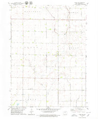
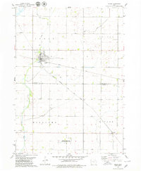
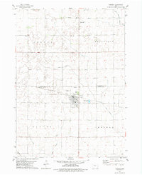
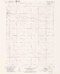
1979 Map of Fonda NE
USGS Topo · Published 1979About this map
Cedar Creek winds through the central portion of this Pocahontas County landscape, which is defined by a rigorous grid of section lines and drainage infrastructure during the late 1970s. The rural character of Marshall, Dover, and Cedar townships is punctuated by small landmarks such as the St Columbkilles Cem and another smaller Cem in the Dover area. This map reveals the heavy reliance on engineered drainage, with features like Ditch No 21 and Ditch No 74 facilitating the agricultural use of the prairie. A small settlement at Viktora sits near the northern boundary, while local industry is represented by a Gravel Pit and a hydrological Gaging Station positioned along the creek. The confluence of the creek and these man-made ditches illustrates the mid-century evolution of Iowa's managed farmland.
Find a feature on this map
16 named features on this map. Tap any name to fly to it.
Don’t see what you’re looking for? This feature index may not catch every label — zoom into the map to look around manually.
Map Details
Editions of this 1979 Fonda NE Map
This is the sole edition of this map. No revisions or reprints were ever made.
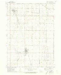
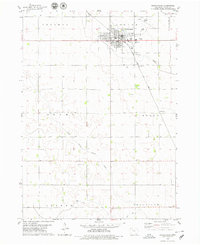
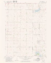
Other maps of this area

1954 · Fort Dodge
USGS Topo · 1:250,000

1957 · Fort Dodge
USGS Topo · 1:250,000

1958 · Fort Dodge
USGS Topo · 1:250,000
1971 · Albert City
USGS Topo · 1:24,000

1971 · Laurens
USGS Topo · 1:24,000
1979 · Pocahontas
USGS Topo · 1:24,000
1979 · Varina
USGS Topo · 1:24,000
1979 · Fonda
USGS Topo · 1:24,000
1979 · Pomeroy
USGS Topo · 1:24,000
1979 · Newell East
USGS Topo · 1:24,000