
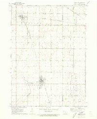
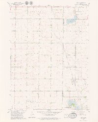
1971 Map of Laurens
USGS Topo · Published 1973About this map
Laurens serves as the central hub of this Pocahontas County landscape, where the Chicago and North Western railroad intersects with the local street grid. The town's infrastructure in the early 1970s is detailed, featuring the Laurens Skyways Landing Strip to the west and a Radio Tower and Sewage Disposal plant on the southern edge. The surrounding townships of Swan Lake, Cummins, Marshall, and Sherman reflect a highly organized agricultural layout, drained by Cedar Creek and Lizard Creek. Near the settlement of Ware, the Chicago Rock Island and Pacific line cuts diagonally across the prairie. Genealogists can locate burial sites at Laurens Cem and Sacred Heart Cem, while the inclusion of County Park provides a glimpse into the community's recreational spaces during this era.
Find a feature on this map
18 named features on this map. Tap any name to fly to it.
Don’t see what you’re looking for? This feature index may not catch every label — zoom into the map to look around manually.
Map Details
Editions of this 1971 Laurens Map
This is the sole edition of this map. No revisions or reprints were ever made.
Other maps of this area

1954 · Fort Dodge
USGS Topo · 1:250,000

1957 · Fort Dodge
USGS Topo · 1:250,000

1958 · Fort Dodge
USGS Topo · 1:250,000
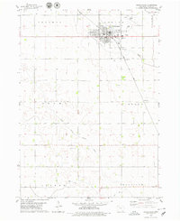
1971 · Albert City
USGS Topo · 1:24,000
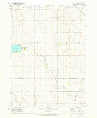
1971 · Rush Lake East
USGS Topo · 1:24,000
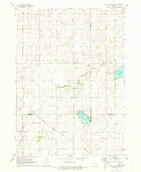
1971 · Rush Lake West
USGS Topo · 1:24,000
1979 · Pocahontas
USGS Topo · 1:24,000
1979 · Varina
USGS Topo · 1:24,000
1979 · Fonda NE
USGS Topo · 1:24,000
1980 · Havelock
USGS Topo · 1:24,000