Old Maps of Sac City, Iowa
Explore 18 old maps of Sac City, spanning from 1954 to today. These high-resolution historic maps reveal how streets, neighborhoods, landmarks, and natural features evolved over time — perfect for genealogy, metal detecting, research, and local history exploration.
What you can do with these maps:
- See how Sac City changed over time: Compare historical maps to modern-day views to trace roads, homesites, rail lines & more.
- View detailed metadata: Each map includes creators, publishers, year, scale, and archive source.
- Overlay maps with satellite & LiDAR: Visualize the past alongside modern tools to explore terrain & human change.
- Trusted historical sources: Maps sourced from the USGS, Library of Congress, and other archives.
- Access maps your way: View online, download high-res files, or order prints for personal or research use.
Start exploring old maps of Sac City to uncover forgotten places, hidden landmarks, and the deep history beneath your feet.
Sac City, IA maps
(18)- 1954 Map of Fort Dodge, 1968 Print
 1954 Fort Dodge1968 Print · USGSNorthwest Iowa is shown here during a period of steady industrial and rail activity in the mid-fifties. Researchers can trace the extensive rail lines connecting Fort Dodge to mining and manufacturing sites like Gypsum and Industry Station.3 unique versions available
 - 1957 Map of Fort Dodge
 1957 Fort Dodge1957 Print · USGSWest-central Iowa thrived as a network of rail-linked agricultural hubs and river towns during the mid-fifties. Researchers can trace the development of the Des Moines River valley and locate historic landmarks in Fort Dodge, Storm Lake, and Lehigh.
 - 1958 Map of Fort Dodge
 1958 Fort Dodge1958 Print · USGSWestern Iowa in the mid-1950s reveals a productive landscape of river-valley industry and prairie agricultural hubs. Researchers can trace the development of the Des Moines River corridor through Fort Dodge and locate vanished local landmarks near Coalville or Storm Lake.
 - 1980 Map of Sac City East
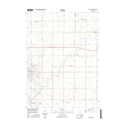
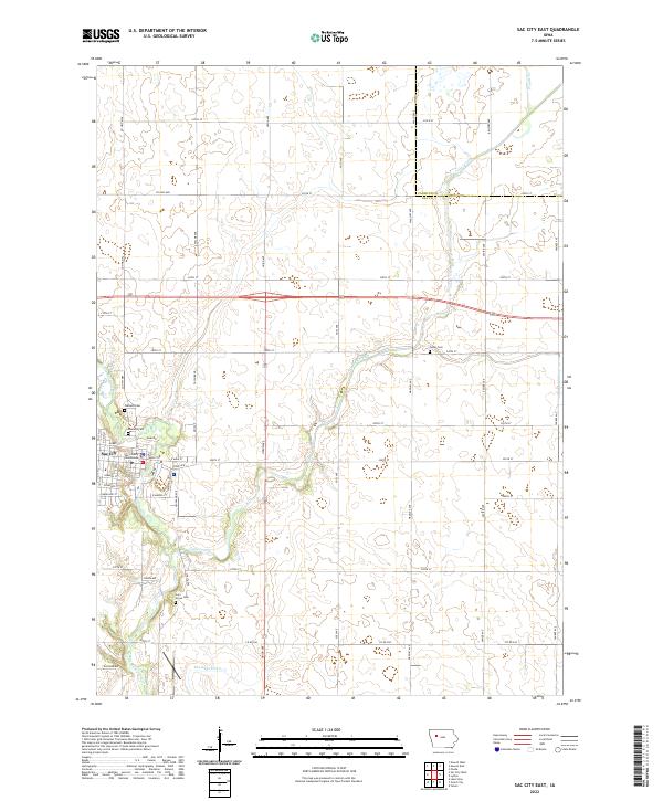
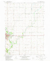 1980 Sac City East1980 Print · USGSSac City and the surrounding Iowa farmland are captured here in the early 1980s as the regional rail and river network remained vital. Genealogists and local historians can trace family locations near Oakland Cem, the Fairground, or along the Cedar Creek drainage.
 - 1980 Map of Sac City West
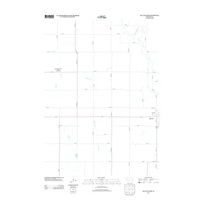
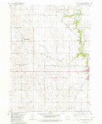 1980 Sac City West1980 Print · USGSSac County at the start of the 1980s reveals a productive landscape where the North Raccoon River meets intensive rail infrastructure. Genealogists and historians can trace the paths of the Chicago and North Western and Chicago Milwaukee St Paul and Pacific railroads through towns like Early and Sac City.
 - 1985 Map of Carroll
 1985 Carroll1985 Print · USGSWest-Central Iowa in the mid-eighties shows a landscape of highly engineered farmland and river-valley conservation. Researchers can trace the drainage patterns of Purgatory Creek or locate local landmarks like Dolliver Memorial State Park and the rail-junction town of Gowrie.
 - 1985 Map of Ida Grove
 1985 Ida Grove1985 Print · USGSWestern Iowa's agricultural heartland is documented in the mid-1980s, showcasing a network of grain-hauling rail lines and river valley settlements. Genealogists and historians can trace family locations across Ida Grove and Denison or locate landmarks like Black Hawk Lake.2 unique versions available
 - 1993 Map of Carroll
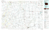
 1993 Carroll1993 Print · USGSCentral Iowa's river valleys and rail corridors are captured here in the early nineties, showing a landscape shaped by the Raccoon River and Des Moines River. Genealogists can trace family connections to the many county seats, from Sac City to Jefferson, and locate rural landmarks like Pilot Mound or North Twin Lake.
 - 2010 Map of Sac City East, 2010 Print
 2010 Sac City East2010 Print · USGSCovers Sac City, including Sac County, Calhoun County, and other nearby areas
 - 2010 Map of Sac City West, 2010 Print
 2010 Sac City West2010 Print · USGSCovers Sac City, including Sac County, United States, and other nearby areas
 - 2013 Map of Sac City East, 2013 Print
 2013 Sac City East2013 Print · USGSCovers Sac City, including Sac County, Calhoun County, and other nearby areas
 - 2013 Map of Sac City West, 2013 Print
 2013 Sac City West2013 Print · USGSCovers Sac City, including Sac County, United States, and other nearby areas
 - 2015 Map of Sac City East, 2015 Print
 2015 Sac City East2015 Print · USGSCovers Sac City, including Sac County, Calhoun County, and other nearby areas
 - 2015 Map of Sac City West, 2015 Print
 2015 Sac City West2015 Print · USGSCovers Sac City, including Sac County, United States, and other nearby areas
 - 2018 Map of Sac City East, 2018 Print
 2018 Sac City East2018 Print · USGSCovers Sac City, including Sac County, Calhoun County, and other nearby areas
 - 2018 Map of Sac City West, 2018 Print
 2018 Sac City West2018 Print · USGSCovers Sac City, including Sac County, United States, and other nearby areas
 - 2022 Map of Sac City East, 2022 Print
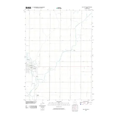
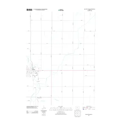
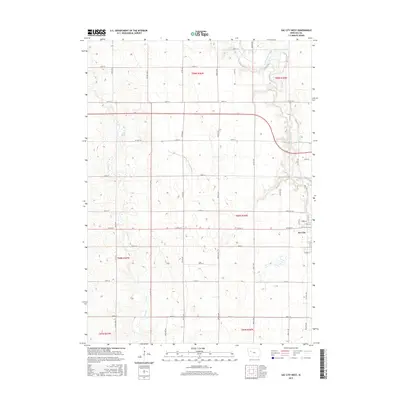
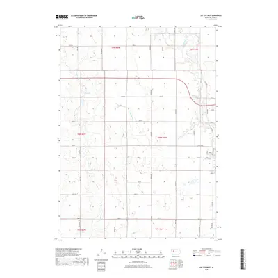
 2022 Sac City East2022 Print · USGSSac City and the fertile plains of western Iowa appear in this recent survey of the North Raccoon River valley. Genealogists and researchers can trace the town grid near the Sac County Courthouse or locate family sites at Oakland Cem and Cory Grove Cem.
 - 2022 Map of Sac City West, 2022 Print
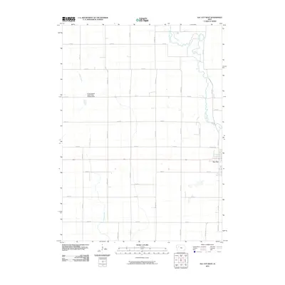
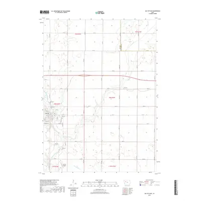
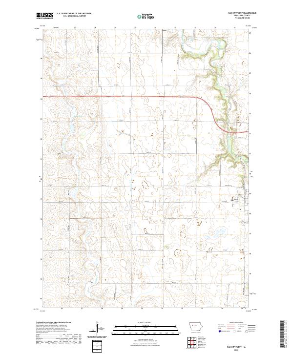 2022 Sac City West2022 Print · USGSThe western outskirts of Sac City and the surrounding Iowa prairie are captured here in the early twenty-first century. Researchers can trace land divisions and local landmarks like Kiowa Marsh, the North Raccoon River, and the path of Indian Cr.
End of results
Showing maps 1-18 of 18
Top cities near Sac City
- Storm Lake historical maps
- Lake View historical maps
- Newell historical maps
- Wall Lake historical maps
- Lakeside historical maps
- Fonda historical maps
See more
Frequently asked questions
- What are the different types of historical maps available for Sac City?
- What is the oldest map of Sac City?
- Where can I purchase historical maps of Sac City for my home or office?
- Where can I download high-res historical maps of Sac City?
- Are there historical topographic maps available for Sac City?
- Is there historical aerial imagery available for Sac City?
- Where are historical maps of Sac City sourced from?