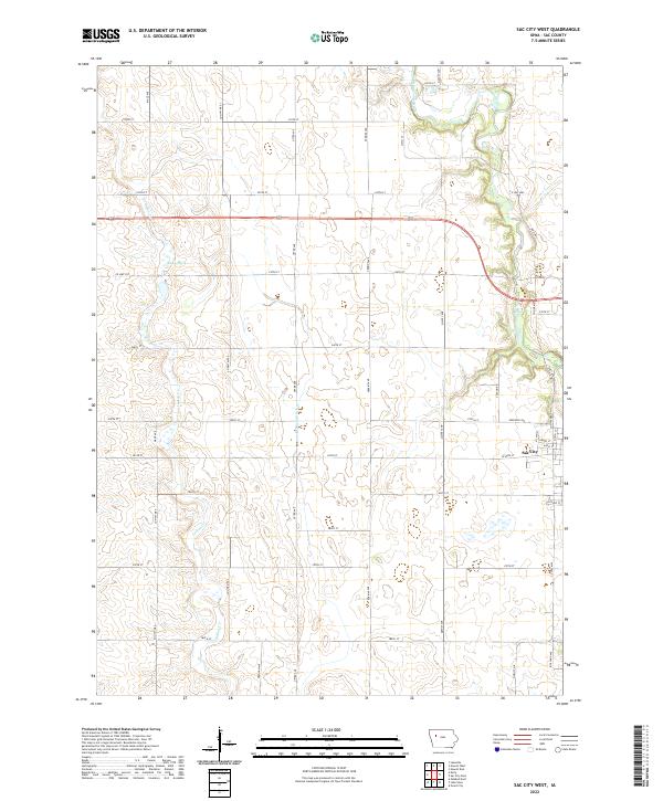
2022 Map of Sac City West
USGS Topo · Published 2022About this map
The North Raccoon River winds through the northeastern portion of this Sac County landscape, while the western edge of Sac City marks the primary population center along the eastern margin. The terrain is defined by a grid of rural roads and the hydrological legacy of agricultural development, notably seen in Drainage Ditch 71 and the winding course of Indian Cr as it flows southward toward the township line of t87n r37w. Conservation efforts are represented by the wetland environment of Kiowa Marsh, a significant natural feature situated north of Co Hwy D37. The map illustrates a contemporary pattern of land use where established county highways like Co Hwy M50 S and Co Hwy M65 provide the framework for the region's farms and homesteads.
Find a feature on this map
45 named features on this map. Tap any name to fly to it.
Don’t see what you’re looking for? This feature index may not catch every label — zoom into the map to look around manually.
Map Details
Editions of this 2022 Sac City West Map
This is the sole edition of this map. No revisions or reprints were ever made.
Other maps of this area

1954 · Fort Dodge
USGS Topo · 1:250,000

1957 · Fort Dodge
USGS Topo · 1:250,000

1958 · Fort Dodge
USGS Topo · 1:250,000

1979 · Lakeside
USGS Topo · 1:24,000

1979 · Newell West
USGS Topo · 1:24,000

1979 · Newell East
USGS Topo · 1:24,000

1980 · Odebolt East
USGS Topo · 1:24,000

1980 · Sac City East
USGS Topo · 1:24,000

1980 · Grant City
USGS Topo · 1:24,000

1980 · Early
USGS Topo · 1:24,000