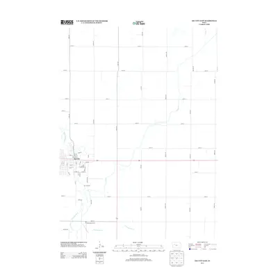
2013 Map of Sac City East
USGS Topo · Published 2013About this map
The N Raccoon River winds along the western edge of this landscape, defining the layout of Sac City and its immediate surroundings in the early 2010s. The town’s eastern expansion is clearly marked by the Sac County Fairgrounds and City Park, while the rural surroundings are meticulously gridded by a network of agricultural roads including Union Ave and Voss Ave. This survey illustrates the essential role of water management in the Iowa prairie, showing how natural waterways like Cedar Cr and Prairie Cr are integrated with man-made infrastructure such as Drainage Ditch 73 to support the local farming economy. To the south, the Sac City Municipal Airport and the Sac City Access recreational area provide evidence of the town's modern transport and community facilities.
Find a feature on this map
50 named features on this map. Tap any name to fly to it.
Don’t see what you’re looking for? This feature index may not catch every label — zoom into the map to look around manually.
Map Details
Editions of this 2013 Sac City East Map
This is the sole edition of this map. No revisions or reprints were ever made.
Other maps of this area

1954 · Fort Dodge
USGS Topo · 1:250,000

1957 · Fort Dodge
USGS Topo · 1:250,000

1958 · Fort Dodge
USGS Topo · 1:250,000

1979 · Fonda
USGS Topo · 1:24,000

1979 · Newell West
USGS Topo · 1:24,000

1979 · Newell East
USGS Topo · 1:24,000

1980 · Lytton
USGS Topo · 1:24,000

1980 · Sac City East
USGS Topo · 1:24,000

1980 · Grant City
USGS Topo · 1:24,000

1980 · Yetter
USGS Topo · 1:24,000