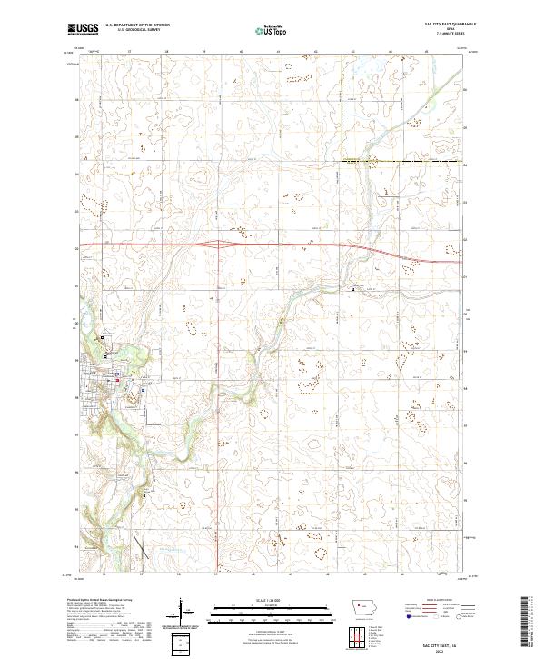
2022 Map of Sac City East
USGS Topo · Published 2022About this map
Sac City serves as the focal point of this western Iowa landscape, situated along the winding banks of the North Raccoon River. As the county seat, the town's street grid is anchored by the Sac County Courthouse, while residential expansion is marked by streets such as Robbins St, Schaller St, and Park Ave. The surrounding rural topography is defined by the agricultural drainage systems common to the region, including the engineered Drainage Ditch 73 and the natural meandering course of Cedar Creek. Local family and community history is preserved in several burial grounds, including Oakland Cem near the town center, and the more isolated Cedar Cem and Cory Grove Cem situated among the section lines. The map captures the highly organized section-road grid, with named thoroughfares like Voss Ave and Union Ave facilitating movement across the fertile plains between Sac City and the neighboring county lines.
Find a feature on this map
54 named features on this map. Tap any name to fly to it.
Don’t see what you’re looking for? This feature index may not catch every label — zoom into the map to look around manually.
Map Details
Editions of this 2022 Sac City East Map
This is the sole edition of this map. No revisions or reprints were ever made.
Other maps of this area

1954 · Fort Dodge
USGS Topo · 1:250,000

1957 · Fort Dodge
USGS Topo · 1:250,000

1958 · Fort Dodge
USGS Topo · 1:250,000

1979 · Fonda
USGS Topo · 1:24,000

1979 · Newell West
USGS Topo · 1:24,000

1979 · Newell East
USGS Topo · 1:24,000

1980 · Lytton
USGS Topo · 1:24,000

1980 · Sac City East
USGS Topo · 1:24,000

1980 · Grant City
USGS Topo · 1:24,000

1980 · Yetter
USGS Topo · 1:24,000