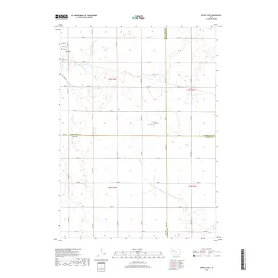
2018 Map of Newell East
USGS Topo · Published 2018About this map
Newell anchors the northwest corner of this agricultural landscape, where the town limits meet a grid of section lines and rural homesteads. The terrain is defined by the wandering path of Prairie Cr and the engineered precision of Drainage Ditch Number 20, reflecting the long-standing efforts to manage the wetlands of Northwest Iowa for cultivation. Local history is preserved at the Newell Cem near the town center and the Cooke Cem further east, which sits adjacent to the First M E Church. The map illustrates a strictly organized rural infrastructure, with roads like Co Rd D15 and Ridge Out cutting through the open country at the intersection of Buena Vista, Pocahontas, Sac, and Calhoun counties.
Find a feature on this map
31 named features on this map. Tap any name to fly to it.
Don’t see what you’re looking for? This feature index may not catch every label — zoom into the map to look around manually.
Map Details
Editions of this 2018 Newell East Map
This is the sole edition of this map. No revisions or reprints were ever made.
Other maps of this area

1954 · Fort Dodge
USGS Topo · 1:250,000

1957 · Fort Dodge
USGS Topo · 1:250,000

1958 · Fort Dodge
USGS Topo · 1:250,000

1979 · Varina
USGS Topo · 1:24,000

1979 · Fonda
USGS Topo · 1:24,000

1979 · Newell West
USGS Topo · 1:24,000

1979 · Storm Lake NE
USGS Topo · 1:24,000

1979 · Newell East
USGS Topo · 1:24,000

1979 · Fonda NE
USGS Topo · 1:24,000

1980 · Lytton
USGS Topo · 1:24,000