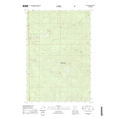
2020 Map of Siouxon Peak
USGS Topo · Published 2020About this map
Gifford Pinchot National Forest dominates this section of the Cascade Range at the border of Clark and Skamania Counties. The landscape is defined by a dense network of drainages and high summits, including Siouxon Peak and the centrally located Huffman Peak. These peaks are separated by steep-sided valleys carved by the Siouxon Cr and its numerous tributaries, such as Wildcat Cr and N Fork Siouxon.
Find a feature on this map
24 named features on this map. Tap any name to fly to it.
Don’t see what you’re looking for? This feature index may not catch every label — zoom into the map to look around manually.
Map Details
Editions of this 2020 Siouxon Peak Map
This is the sole edition of this map. No revisions or reprints were ever made.
Other maps of this area

1919 · Mount St Helens
USGS Topo · 1:125,000

1940 · Lookout Mtn
USGS Topo · 1:62,500

1941 · Yacolt
USGS Topo · 1:62,500

1948 · Vancouver
USGS Topo · 1:250,000

1950 · Vancouver
USGS Topo · 1:250,000

1950 · Vancouver
USGS Topo · 1:250,000

1953 · Hoquiam
USGS Topo · 1:250,000

1953 · Lookout Mtn
USGS Topo · 1:62,500

1953 · Cougar
USGS Topo · 1:62,500
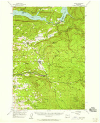
1956 · Yacolt
USGS Topo · 1:62,500