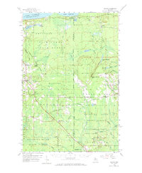
1958 Map of Skandia
USGS Topo · Published 1973About this map
The Duluth South Shore and Atlantic railroad cuts through the heart of the Upper Peninsula on this 1950s survey, connecting timber and transit towns across the Marquette and Alger County line. The settlement at Skandia serves as a local hub, featuring the Skandia School, Emmanuel Church, and the Skandia Lookout Tower overlooking the surrounding forests. Further east, the landscape is defined by the headwaters of the Escanaba River and the dramatic Laughing Whitefish Falls.
Find a feature on this map
55 named features on this map. Tap any name to fly to it.
Don’t see what you’re looking for? This feature index may not catch every label — zoom into the map to look around manually.
Map Details
Editions of this 1958 Skandia Map
2 editions found

Other maps of this area

1907 · Marquette
USGS Topo · 1:62,500

1932 · Skandia SW
USGS Topo · 1:31,680

1932 · Helena NE
USGS Topo · 1:31,680

1932 · Rock NE
USGS Topo · 1:31,680

1932 · Skandia SE
USGS Topo · 1:31,680

1932 · Skandia NE
USGS Topo · 1:31,680

1932 · Harvey SE
USGS Topo · 1:31,680

1932 · Rock NW
USGS Topo · 1:31,680

1932 · Harvey NE
USGS Topo · 1:31,680

1950 · Skandia NW
USGS Topo · 1:31,680