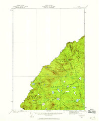
1928 Map of Skinner
USGS Topo · Published 1959About this map
The Canadian Pacific Railway serves as the primary artery through this remote section of Franklin County, following the course of the South Branch Moose River as it traverses the international boundary. Surveyed in 1928, the landscape is defined by its industrial logging and railway outposts, including the settlements of Lowelltown and Skinner, alongside more temporary locations like Hogans Camp and Summit Camps. The map provides a detailed view of the borderlands between Quebec and Maine, where the high elevations of Caswell Mtn and Dome Mtn overlook a complex network of waterways including the Dead River and Indian Pond. This era represents a period when the deep woods of Northern Maine were intensely connected to regional commerce through the rail line and a network of primitive transportation routes like the Tote Road.
Find a feature on this map
40 named features on this map. Tap any name to fly to it.
Don’t see what you’re looking for? This feature index may not catch every label — zoom into the map to look around manually.
Map Details
Editions of this 1928 Skinner Map
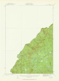
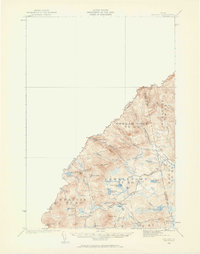
4 editions found
Other maps of this area

1923 · Attean
USGS Topo · 1:62,500

1925 · Attean
USGS Topo · 1:62,500

1927 · Sandy Bay
USGS Topo · 1:48,000

1928 · Chain Lakes
USGS Topo · 1:48,000

1928 · Skinner
USGS Topo · 1:48,000

1928 · Spencer
USGS Topo · 1:48,000

1930 · Sandy Bay
USGS Topo · 1:62,500

1931 · Skinner
USGS Topo · 1:62,500

1932 · Spencer
USGS Topo · 1:62,500

1932 · Arnold Pond
USGS Topo · 1:48,000