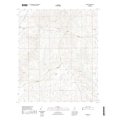
2020 Map of Skinnerton
USGS Topo · Published 2020About this map
Skinnerton and Midway anchor this rural landscape in south-central Alabama, where the boundary between Monroe and Conecuh counties meanders through a network of creeks and rivers. The terrain is defined by the convergence of several significant waterways, including Murder Cr and the Sepulga River, which drain the low-lying basins of the region. Local history and genealogy are preserved in sites such as Midway Cem and Lone Star Cem, which serve as quiet landmarks for the surrounding communities.
Find a feature on this map
37 named features on this map. Tap any name to fly to it.
Don’t see what you’re looking for? This feature index may not catch every label — zoom into the map to look around manually.
Map Details
Editions of this 2020 Skinnerton Map
This is the sole edition of this map. No revisions or reprints were ever made.
Other maps of this area

1953 · Andalusia
USGS Topo · 1:250,000

1957 · Andalusia
USGS Topo · 1:250,000

1967 · Beatrice
USGS Topo · 1:24,000

1971 · Lyeffion
USGS Topo · 1:24,000

1971 · Skinnerton
USGS Topo · 1:24,000

1971 · China
USGS Topo · 1:24,000

1971 · Burnt Corn
USGS Topo · 1:24,000

1971 · Bethel
USGS Topo · 1:24,000

1971 · Beatrice
USGS Topo · 1:24,000
1981 · Nadawah
USGS Topo · 1:24,000