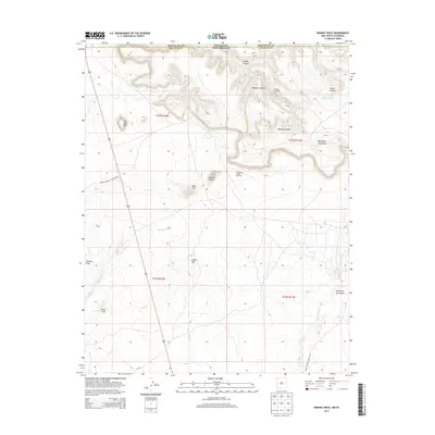
2013 Map of Skinney Rock
USGS Topo · Published 2013About this map
Skinney Rock stands as a prominent landmark in this high-desert landscape situated along the border of Colorado and New Mexico. The 2013 topography reveals a complex network of canyons and arroyos, including the deep incisions of Tanner Canyon and Weekley Canyon that dominate the northern half of the quadrangle. Resource extraction is evident through the Weekley Oil Field and Horseshoe Gallup Oil Field, which punctuate the plateau between these drainages.
Find a feature on this map
23 named features on this map. Tap any name to fly to it.
Don’t see what you’re looking for? This feature index may not catch every label — zoom into the map to look around manually.
Map Details
Editions of this 2013 Skinney Rock Map
This is the sole edition of this map. No revisions or reprints were ever made.
Other maps of this area

1889 · Chaco
USGS Topo · 1:250,000

1892 · Chaco
USGS Topo · 1:250,000

1934 · Chimney Rock
USGS Topo · 1:62,500

1934 · Rattlesnake
USGS Topo · 1:62,500

1936 · Chimney Rock
USGS Topo · 1:62,500

1937 · Rattlesnake
USGS Topo · 1:62,500

1954 · Shiprock
USGS Topo · 1:250,000

1956 · Cortez
USGS Topo · 1:250,000

1958 · Cortez
USGS Topo · 1:250,000

1958 · Shiprock
USGS Topo · 1:250,000