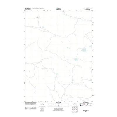
2011 Map of Skull Lake
USGS Topo · Published 2011About this map
Calamus River meanders across the northern reaches of this landscape, anchoring a remote Nebraska terrain defined by isolated ranching outposts and a network of interior basins. The Wrage Ranch stands as a primary point of human activity within this sparsely populated region of Cherry County. The geography is notable for its collection of varied water bodies, including the centrally located Skull Lake and the southeastern cluster near Rat Lake. These natural features, along with Rush Lake and South Twin Lake, represent the characteristic drainage patterns and land use of the area in the early twenty-first century.
Find a feature on this map
6 named features on this map. Tap any name to fly to it.
Don’t see what you’re looking for? This feature index may not catch every label — zoom into the map to look around manually.
Map Details
Editions of this 2011 Skull Lake Map
This is the sole edition of this map. No revisions or reprints were ever made.
Other maps of this area

1949 · Purdum
USGS Topo · 1:62,500

1949 · Koshopah
USGS Topo · 1:62,500

1949 · Long Lake
USGS Topo · 1:62,500

1951 · Long Lake
USGS Topo · 1:62,500

1951 · Purdum
USGS Topo · 1:62,500

1951 · Moon Lake
USGS Topo · 1:62,500

1951 · Koshopah
USGS Topo · 1:62,500

1957 · Valentine
USGS Topo · 1:250,000

1959 · Valentine
USGS Topo · 1:250,000

1985 · Wilson Valley
USGS Topo · 1:24,000