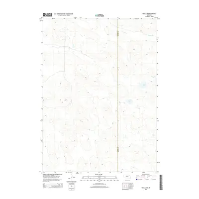
2014 Map of Skull Lake
USGS Topo · Published 2014About this map
Skull Lake and the surrounding Nebraska Sandhills are the focus of this 2014 geographic study, which highlights a landscape of high-plains hydrology and intricate landforms. The region is defined by its numerous small basins and water bodies, including South Twin Lake, Rush Lake, and Rat Lake, which sit amidst the undulating sandy terrain. The Calamus River flows across the northern portion of the quadrangle, serving as a primary drainage for this part of the Sandhills. This map also marks the political boundary where Cherry County and Brown County meet, providing a clear reference for property research and land management in a sparsely settled but ecologically distinct portion of northern Nebraska.
Find a feature on this map
6 named features on this map. Tap any name to fly to it.
Don’t see what you’re looking for? This feature index may not catch every label — zoom into the map to look around manually.
Map Details
Editions of this 2014 Skull Lake Map
This is the sole edition of this map. No revisions or reprints were ever made.
Other maps of this area

1949 · Purdum
USGS Topo · 1:62,500

1949 · Koshopah
USGS Topo · 1:62,500

1949 · Long Lake
USGS Topo · 1:62,500

1951 · Long Lake
USGS Topo · 1:62,500

1951 · Purdum
USGS Topo · 1:62,500

1951 · Moon Lake
USGS Topo · 1:62,500

1951 · Koshopah
USGS Topo · 1:62,500

1957 · Valentine
USGS Topo · 1:250,000

1959 · Valentine
USGS Topo · 1:250,000

1985 · Wilson Valley
USGS Topo · 1:24,000